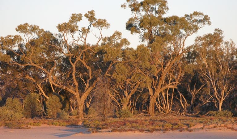
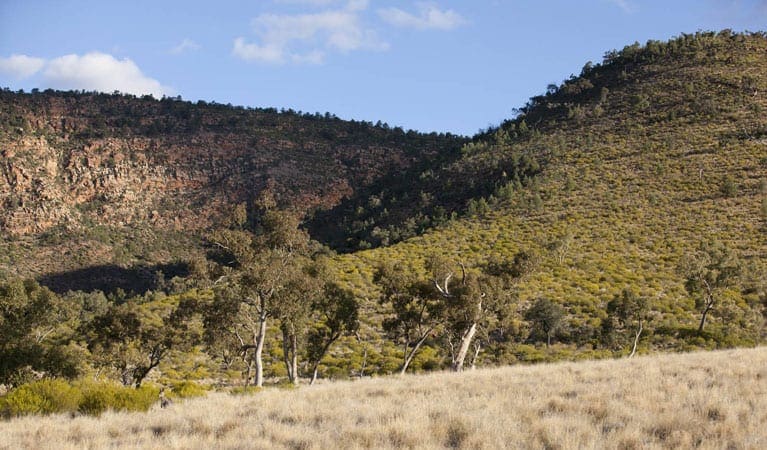
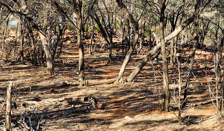
Lake Bindegolly Circuit is located within Lake Bindegolly National Park. A string of salt and freshwater wetlands at Lake Bindegolly National Park form an important wildlife refuge in the arid zone. The park is home to more than 195 species of birds, 80 other kinds of animals and 300 species of plants, including the gnarled tree Acacia ammophila which is threatened with extinction. Lake Bindegolly National Park conserves one of the most important wetland systems in south-west Queensland.
Camping
Camping is not permitted in the national park. However, nearby camping is permitted on the southern side of the Bulloo Development Road (Adventure Way), but there are no facilities.
Wheelchair accessibility
There are no wheelchair-accessible tracks or facilities at Lake Bindegolly.
Got some great shots from this hike? Upload your photos here to inspire others and show off the beauty of the trail!
Submitting your photos doesn’t mean you lose ownership. You can be credited for your contributions, and you can request removal at any time.
Please don’t copy GPX files or content from this site to AllTrails or other platforms. Each trail has been personally mapped, documented, and refined to support Australia’s bushwalking and hiking community. While some details come from land managers, every listing reflects significant personal effort. This is a free, community-driven initiative—your respect helps keep it that way.
Total distance: 9313 m
Max elevation: 143 m
Min elevation: 136 m
Total climbing: 36 m
Total descent: -36 m
Getting there
Getting to the trailhead: Lake Bindegolly National Park.
Lake Bindegolly is 150km west of Cunnamulla, or 40km east of Thargomindah, on the Bulloo Developmental Road (Adventure Way). To protect the fragile lake edges and samphire flats, vehicles are not allowed on the park. Park your vehicle at the shelter near the bridge and walk to the lakes.
Closest towns to this walk: Charleville, Cunnamulla, Eulo, Thargomindah, Wyandra
About the region
Lake Bindegolly is a national park in Dynevor, Shire of Bulloo, South West Queensland, Australia, 871 km west of Brisbane and 40 km from the town of Thargomindah. It is in the Mulga Lands bioregion and was established to protect a population of the rare plant Acacia ammophila. It has three lakes, two saline and one freshwater.
A 318 km2 area of the lake and its surrounds has been identified by BirdLife International as an Important Bird Area (IBA) because it has supported over 1% of the world populations of blue-billed ducks and red-necked avocets as well as populations of the biome-restricted inland dotterel, Bourke's parrot, slaty-backed thornbill, grey-headed honeyeater, black honeyeater, pied honeyeater, Hall's babbler, chirruping wedgebill and chestnut-breasted quail-thrush.
Similar walks nearby
Looking for more walks in or near Lake Bindegolly National Park? Try these trails with a similar difficulty grade.
Favourite

Favourite

Favourite

Mount Grenfell Historic Site
Favourite

Track grade
Grade 4 (Hard) -
Challenging Walks for Experienced Walkers: Grade 4 on the
AWTGS signifies challenging walking tracks. Bushwalking experience is recommended for these tracks, which may be long, rough, and very steep. Directional signage may be limited, requiring a good sense of navigation. These walks are suited for experienced walkers who are comfortable with steeper inclines, rougher terrain, and potentially longer distances.
Explore safe
Plan ahead and hike safely! Carry enough water, pack layers for changing conditions, and bring safety gear like a torch, PLB, and reliable communication device. Check official sources for trail updates, closures, and access requirements, and review local weather and bushfire advice. Most importantly, share your plans with someone before you go. Being prepared makes for a safer and more enjoyable hike! Stay Safe, Explore More, and Always #ExploreSafe.
Packing checklists
What you carry in your pack depends on factors like weather, terrain, and your adventure type. Not sure what to bring? My free planning, food, and packing checklists are a great starting point, covering day hikes, overnight trips, and multi-day adventures. Use them to customise your kit and always prioritise safety.
Let someone know
Before heading out, take a moment to fill out your trip intentions form. It’s a quick way to share your hike details with family or friends. If something goes wrong, they can notify emergency services, ensuring a faster response and peace of mind. Stay safe and enjoy your adventure
Suggest an edit
Spotted a change on this trail? Maybe there are new features, the route has shifted, or the trail is permanently closed. Whatever the update, I’d love your input. Your feedback helps fellow hikers stay informed and ensures that our trail info stays fresh and reliable.


