The risks from exposure and dehydration are significant in this area. During the hotter months (at least September March) these risks are extreme. Temperatures often exceed 40°C. Due to recent deaths, this trail is now closed during Summer.
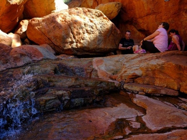
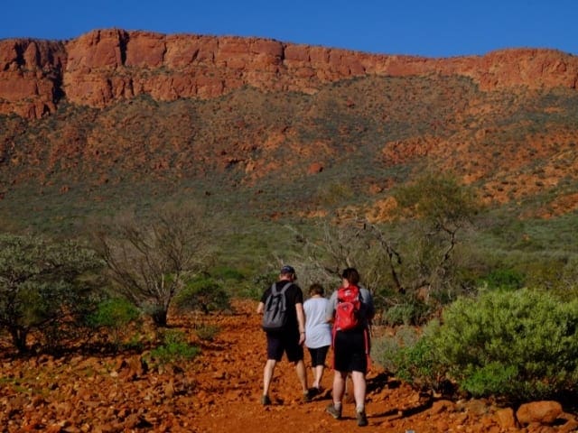
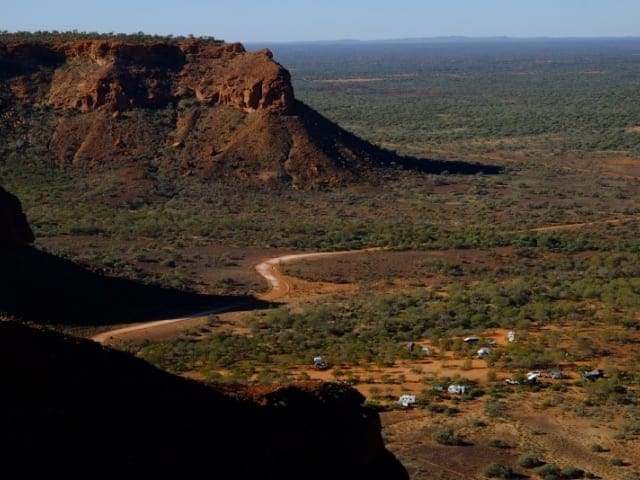
Edney's Trail is a Grade 4, six kilometre return hike which, although has a reasonable degree of difficulty, is not as challenging as the Summit Trail. There are some great views over the expansive plains.
For a less strenuous challenge to the Summit Trail, many hikers get their lookout fix on this one. Not that you should underestimate this trail too much. If you are prone to taking frequent rest stops masquerading as photo stops, you could take up to 5 hours to bag this trail. Edney's Trail takes you to Edney's Lookout where expansive views make it well worth the effort. In reality, this walk trail is really an extension of the Ooramboo Trail.
Got some great shots from this hike? Upload your photos here to inspire others and show off the beauty of the trail!
Submitting your photos doesn’t mean you lose ownership. You can be credited for your contributions, and you can request removal at any time.
Please don’t copy GPX files or content from this site to AllTrails or other platforms. Each trail has been personally mapped, documented, and refined to support Australia’s bushwalking and hiking community. While some details come from land managers, every listing reflects significant personal effort. This is a free, community-driven initiative—your respect helps keep it that way.
Total distance: 4801 m
Max elevation: 621 m
Min elevation: 445 m
Total climbing: 180 m
Total descent: -180 m
Getting there
Getting to the trailhead: Mount Augustus National Park.
Start Point: Mount Augustus National Park, 1100km (16 hours) north of Perth
Closest towns to this walk: Carnarvon, Cue, Gascoyne Junction, Meekatharra, Mount Magnet, Mullewa, Murchison, Murchison Settlement, Paraburdoo, Wiluna
About the region
Rising 715m above the surrounding alluvial plain, Mount Augustus is an inselberg, meaning island mountain'. There are rocky creeks, gorges and open plains supporting a variety of vegetation and wildlife. Mount Augustus is known as Burringurrah to the local Wajarri Aboriginal people. The park was gazetted on 22 September 1989 and is made up of former parts of Mount Augustus and Cobra Stations.
During 1999-2000, the State purchased nearby pastoral leases Cobra and Waldburg and part leases of Mount Philip and Dalgety Downs with the aim of managing the whole area including the national park for conservation. The total area is now 607,603 hectares.
Similar walks nearby
Looking for more walks in or near Mount Augustus National Park? Try these trails with a similar difficulty grade.
Favourite

Mount Augustus National Park
Favourite

Mount Augustus National Park
Favourite

Mount Augustus National Park
Favourite

Kennedy Range National Park
Track grade
Grade 4 (Hard) -
Challenging Walks for Experienced Walkers: Grade 4 on the
AWTGS signifies challenging walking tracks. Bushwalking experience is recommended for these tracks, which may be long, rough, and very steep. Directional signage may be limited, requiring a good sense of navigation. These walks are suited for experienced walkers who are comfortable with steeper inclines, rougher terrain, and potentially longer distances.
Explore safe
Plan ahead and hike safely! Carry enough water, pack layers for changing conditions, and bring safety gear like a torch, PLB, and reliable communication device. Check official sources for trail updates, closures, and access requirements, and review local weather and bushfire advice. Most importantly, share your plans with someone before you go. Being prepared makes for a safer and more enjoyable hike! Stay Safe, Explore More, and Always #ExploreSafe.
Packing checklists
What you carry in your pack depends on factors like weather, terrain, and your adventure type. Not sure what to bring? My free planning, food, and packing checklists are a great starting point, covering day hikes, overnight trips, and multi-day adventures. Use them to customise your kit and always prioritise safety.
Let someone know
Before heading out, take a moment to fill out your trip intentions form. It’s a quick way to share your hike details with family or friends. If something goes wrong, they can notify emergency services, ensuring a faster response and peace of mind. Stay safe and enjoy your adventure
Suggest an edit
Spotted a change on this trail? Maybe there are new features, the route has shifted, or the trail is permanently closed. Whatever the update, I’d love your input. Your feedback helps fellow hikers stay informed and ensures that our trail info stays fresh and reliable.


