Hike at a Glance
Max elevation: 285m
Min elevation: 181m
Total Ascent: 209m
Hike overview
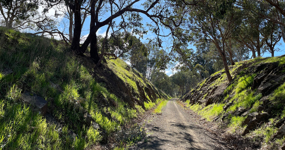
The Great Victorian Rail Trail is a multi-use trail and can be explored on foot, bike or horse. This easily accessible, varied and unique rail trail offers close proximity to heritage classified rivers, majestic valleys, lakes and mountains.
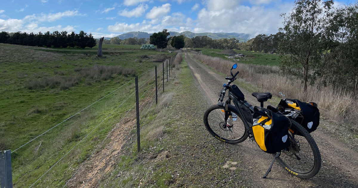
Formerly known as the Goulburn River High Country Rail Trail, this is a high standard rail trail traversing undulating farmland.
From riverside wandering, to High Country hiking, the Rail Trail offers many different kinds of walking experiences.
Short walks, long walks and overnight walks are all recommended. The trail has a gentle walking gradient, but there is a good climb on the Cathkin to Alexandra section of the trail. Car parks are spaced along the trail for easy pick up and drop off at the beginning and end of your walk.
Walking is one of the best ways to see the local fauna and flora and changing landscape. The Tallarook section has shady woodland sections with the Goulburn River meandering close by. Open farmland is a feature of the trail, with vibrant birdlife in the Yea Wetlands and the Mansfield Mullum Wetlands. If you turn off at Cathkin the rolling hills and a hearty climb bring bring you to Alexandra. The approach to Mansfield takes you through Bonnie Doon and over Lake Eildon with views of Victoria's High Country and Mount Buller in the distance.

Facilities
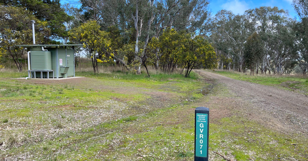
Toilets are available at several locations on the trail. Public toilets are also available in the local towns. Several shelters with tables and seats are also available along the trail.
BBQs are available at Tallarook, Yea, Alexandra, Bonnie Doon and Mansfield.
Please carry food and water while on the trail. Read up on the trail's safety information and code of conduct.

Tips
- Features the only tunnel on a rail trail in Victoria and a long bridge across Lake Eildon.
- Almost all of the bridges have been made trafficable and the few low level crossings are easily graded.
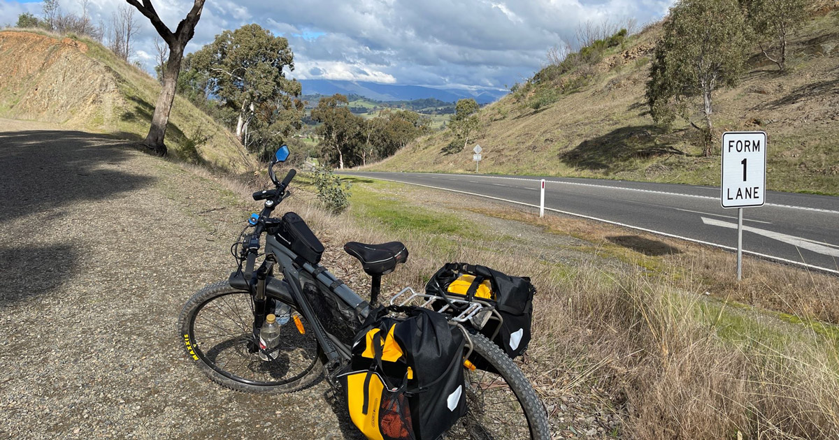
- There are several crossings of major rural highways.
- The surface is either a bitumised granite, which is suitable for wheel chairs and prams, and compacted gravel which may not be suitable for wheel chairs and prams in sections. Where possible a separate bridle path is provided for horses.

For more information please visit the Great Victorian Rail Trail website.
Photos and GPX files courtesy of Darryl Simms
Content use
Please don’t copy GPX files or content from this site to AllTrails or other platforms. Each trail has been personally mapped, documented, and refined to support Australia’s bushwalking and hiking community. While some details come from land managers, every listing reflects significant personal effort. This is a free, community-driven initiative—your respect helps keep it that way.
Walk map and GPX file
Popular Sections - GPX Files
Cathkin to Alexandra (13.7km)
Max elevation: 285 m
Min elevation: 181 m
Total climbing: 209 m
Total descent: -169 m
Yea to Cathkin ( 22.5km)
Max elevation: 298 m
Min elevation: 172 m
Total climbing: 326 m
Total descent: -357 m
Getting there
Getting to the trailhead: Northern Victoria.
The trail can be accessed from many points. Several towns provide easy access with car parks, picnic facilities and toilets available.
The trail runs east from Tallarook, through the township of Yea to Mansfield. Tallarook is only 100 kilometres from Melbourne, just off the Hume Freeway.
Alexandra, at the junction of the Goulburn Valley and Maroondah Highways is 138 kilometres from Melbourne. The Alexandra spur line is 13 kilometres long and joins the main trail at Cathkin.
Mansfield is approximately 192 kilometres from Melbourne at the eastern end of the trail. It is a popular starting point for both single and multi-day trips.
For more information, visit the Great Victorian Rail Trail website.

Closest towns to this walk: Albury, Benalla, Echuca, Kyabram, Shepparton, Wangaratta, Wodonga
About the region
Aside from being a scenic fourney through rolling farmland, tunnels and lakes, the Great Victorian Rail Trail is rich with stories from its past lives.
For more information, visit the Great Victorian Rail Trail website.

Similar walks nearby
Looking for more walks in or near Northern Victoria? Try these trails with a similar difficulty grade.
Track grade
Grade 3 (Moderate) - Walks for Most Fitness Levels: Grade 3 on the AWTGS represents moderate walking tracks. These are ideal for walkers with some fitness who are comfortable with some hills and uneven terrain. While suitable for most ages, some bushwalking experience is recommended to ensure a safe and enjoyable experience. Tracks may have short, steep hill sections, a rough surface, and many steps. The total distance of a Grade 3 walk can be up to 20 kilometers.
Explore safe
Plan ahead and hike safely! Carry enough water, pack layers for changing conditions, and bring safety gear like a torch, PLB, and reliable communication device. Check official sources for trail updates, closures, and access requirements, and review local weather and bushfire advice. Most importantly, share your plans with someone before you go. Being prepared makes for a safer and more enjoyable hike! Stay Safe, Explore More, and Always #ExploreSafe.
Packing checklists
What you carry in your pack depends on factors like weather, terrain, and your adventure type. Not sure what to bring? My free planning, food, and packing checklists are a great starting point, covering day hikes, overnight trips, and multi-day adventures. Use them to customise your kit and always prioritise safety.
Let someone know
Before heading out, take a moment to fill out your trip intentions form. It’s a quick way to share your hike details with family or friends. If something goes wrong, they can notify emergency services, ensuring a faster response and peace of mind. Stay safe and enjoy your adventure
Suggest an edit
Spotted a change on this trail? Maybe there are new features, the route has shifted, or the trail is permanently closed. Whatever the update, I’d love your input. Your feedback helps fellow hikers stay informed and ensures that our trail info stays fresh and reliable.
Acknowledgement of Country
Trail Hiking Australia acknowledges the Traditional Owners of the lands on which we hike and pay respects to their Elders, past and present, and we acknowledge the First Nations people of other communities who may be here today.
/Great-Victorian-Rail-Trail-Walk_14.jpg)
/Great-Victorian-Rail-Trail-Walk_3.jpg)
/Great-Victorian-Rail-Trail-Walk_17.jpg)
/Great-Victorian-Rail-Trail-Walk_9.jpg)
/Great-Victorian-Rail-Trail-Walk_1.jpg)
/Great-Victorian-Rail-Trail-Walk_12.jpg)
/Great-Victorian-Rail-Trail-Walk_11.jpg)
/Great-Victorian-Rail-Trail-Walk_10.jpg)
/Great-Victorian-Rail-Trail-Walk_4.jpg)
/Great-Victorian-Rail-Trail-Walk_8.jpg)
/Great-Victorian-Rail-Trail-Walk_5.jpg)
/Great-Victorian-Rail-Trail-Walk_13.jpg)
/Great-Victorian-Rail-Trail-Walk_6.jpg)
/Great-Victorian-Rail-Trail-Walk_2.jpg)
/Great-Victorian-Rail-Trail-Walk_7.jpg)


8 Reviews on “Great Victorian Rail Trail Walk (134km)”
David Schwab ?
Jason R Fisher
Jason R Fisher mmm August?
Jason R Fisher
November
Leesa Harris
Passes the end of my street in Yea.
I do coffee?
Swooping season?
This is my brothers website!
Thom May
we’ve ridden the bikes with the kids from Molesworth to Yea and back… 30km return through the Cheviot tunnel.
When are we going?