Hike at a Glance
Max elevation: 418m
Min elevation: 376m
Total Ascent: 92m
Hike overview
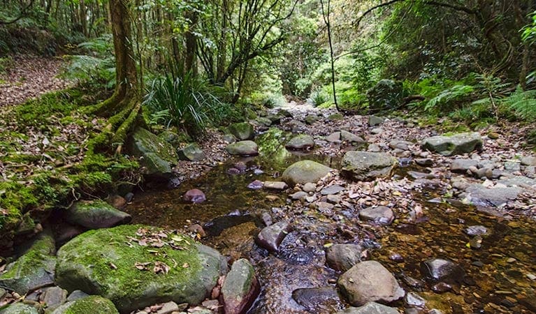
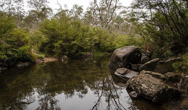
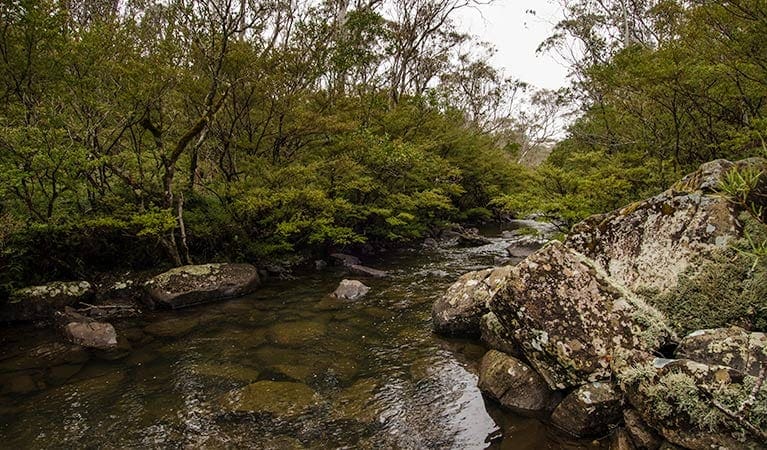
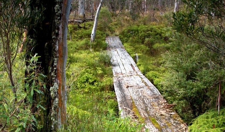
Unveiling the natural wonders of Barrington Tops National Park, the Gloucester River walking track offers a delightful experience for visitors of all ages. This family-friendly track, starting conveniently at Gloucester River campground, is ideal for a short walk or a full day of exploration. Immerse yourself in the scenic beauty of the river and its surrounding gullies, while keeping an eye out for abundant birdlife and wildlife.
The path winds its way through the landscape, offering opportunities for spotting the shy platypus or the long-necked tortoise basking in the sun. As you cross the river, keep your ears tuned for the distinctive calls of yellow-tailed black-cockatoos soaring above the canopy, their cries blending with the ever-present sound of rushing rapids below. The attentive listener might also be rewarded with the piping shrill of lyrebirds or catch a glimpse of a tell-tale satin bowerbird nest.
After your walk, cool off with a refreshing swim in the river, followed by a relaxing picnic lunch beside the water. If you're looking to extend your adventure, consider camping overnight at Gloucester River campground. In the morning, rejuvenated and ready for further exploration, you can embark on the Sharpes Creek walking track, venturing deeper into the park's wilderness.
Tips
- Sun protection is essential: Be sure to apply sunscreen, wear a hat, and bring plenty of water for your exploration.
- Enhance your wildlife spotting: Pack binoculars to identify the park's abundant birdlife.
- Water safety: Strong currents can be present in the Gloucester River. Exercise caution while swimming and closely supervise children at all times.
- River crossing: This walk involves wading across the Gloucester River. Avoid attempting the crossing during heavy rain as water levels can rise quickly.
- Trail closures possible: Track closures may occur due to weather events or fire hazards. For the latest information, contact the Gloucester National Parks and Wildlife Service office on 02 6538 5300.
- Wet weather road access: Review the forecast before your visit, as wet weather can affect road access to Gloucester River and Gloucester Tops.
- Fishing regulations: A current NSW recreational fishing licence is required if you plan to fish in the river.
Gallery
Got some great shots from this hike? Upload your photos here to inspire others and show off the beauty of the trail!
Click to view form >>
Submitting your photos doesn’t mean you lose ownership. You can be credited for your contributions, and you can request removal at any time.
Content use
Please don’t copy GPX files or content from this site to AllTrails or other platforms. Each trail has been personally mapped, documented, and refined to support Australia’s bushwalking and hiking community. While some details come from land managers, every listing reflects significant personal effort. This is a free, community-driven initiative—your respect helps keep it that way.
Walk map and GPX file
Max elevation: 418 m
Min elevation: 376 m
Total climbing: 92 m
Total descent: -90 m
Getting there
Getting to the trailhead: Barrington Tops National Park.
Accessing the Gloucester River walking track is straightforward, making it a convenient option for families and casual explorers. Situated within the Gloucester Tops precinct of Barrington Tops National Park, the trailhead is located right at Gloucester River campground.
If you’re travelling from Bucketts Way, located between Gloucester and Stroud, simply turn onto Gloucester Tops Road and follow it until you reach Gloucester River campground. Luckily, parking is available right at the campground, allowing you to effortlessly begin your exploration along the scenic Gloucester River and its surrounding wilderness.
Closest towns to this walk: Dungog, Ebor, Gloucester, Merriwa, Moonan Brook, Moonan Flat, Murrurundi, Muswellbrook, Nabiac, Scone, Singleton, Stroud, Wingen, Wingham
About the region
The Barrington Tops National Park offers a diverse range of experiences for every visitor. Immerse yourself in the World Heritage-listed Gondwana Rainforests, teeming with ancient walking trails, cascading waterfalls, and breathtaking lookouts. Explore the park's extensive network of walking tracks, catering to all levels, from gentle strolls to challenging overnight hikes. Scenic picnic areas and cycling trails provide perfect options for day trips.
Carved by ancient volcanic flows, the park boasts one of mainland Australia's largest temperate rainforests. Rising from near sea level to over 1,500 metres, it encompasses diverse habitats teeming with birdlife and animals. Camping enthusiasts can find designated spots for an unforgettable evening under the stars.
For those seeking adventure, options abound. Kayak across serene waters, challenge yourself with abseiling, or explore the terrain on a mountain bike. At the foothills, Chichester State Forest offers stunning scenery along the Allyn River, with campsites even welcoming your canine companions.
Beyond the park, discover the charming towns of Dungog and Gloucester. Gloucester, nicknamed the "basecamp for Barrington Tops," provides a welcoming gateway to your Gondwana adventures. Enjoy a refreshing dip in Ladies Well on a hot day, or venture further for hiking and picnicking opportunities in nearby Mount Royal National Park. Trout fishing enthusiasts can cast their lines in the Gloucester River between October and June.
Barrington Tops National Park, a magnificent region near the Hunter Valley and Upper Hunter, is easily accessible. Just a few hours' drive north of Sydney or a short trip from Newcastle and Port Stephens, this World Heritage wonder awaits exploration.
Similar walks nearby
Looking for more walks in or near Barrington Tops National Park? Try these trails with a similar difficulty grade.
Track grade
Grade 4 (Hard) - Challenging Walks for Experienced Walkers: Grade 4 on the AWTGS signifies challenging walking tracks. Bushwalking experience is recommended for these tracks, which may be long, rough, and very steep. Directional signage may be limited, requiring a good sense of navigation. These walks are suited for experienced walkers who are comfortable with steeper inclines, rougher terrain, and potentially longer distances.
Explore safe
Plan ahead and hike safely! Carry enough water, pack layers for changing conditions, and bring safety gear like a torch, PLB, and reliable communication device. Check official sources for trail updates, closures, and access requirements, and review local weather and bushfire advice. Most importantly, share your plans with someone before you go. Being prepared makes for a safer and more enjoyable hike! Stay Safe, Explore More, and Always #ExploreSafe.
Packing checklists
What you carry in your pack depends on factors like weather, terrain, and your adventure type. Not sure what to bring? My free planning, food, and packing checklists are a great starting point, covering day hikes, overnight trips, and multi-day adventures. Use them to customise your kit and always prioritise safety.
Let someone know
Before heading out, take a moment to fill out your trip intentions form. It’s a quick way to share your hike details with family or friends. If something goes wrong, they can notify emergency services, ensuring a faster response and peace of mind. Stay safe and enjoy your adventure
Suggest an edit
Spotted a change on this trail? Maybe there are new features, the route has shifted, or the trail is permanently closed. Whatever the update, I’d love your input. Your feedback helps fellow hikers stay informed and ensures that our trail info stays fresh and reliable.
Acknowledgement of Country
Trail Hiking Australia acknowledges the Traditional Owners of the lands on which we hike and pay respects to their Elders, past and present, and we acknowledge the First Nations people of other communities who may be here today.


