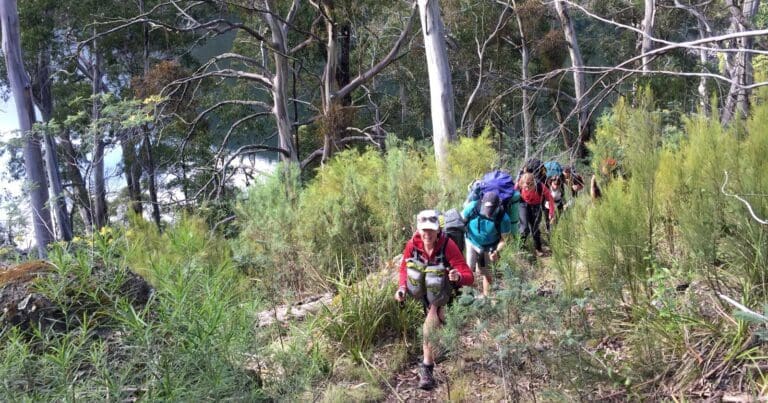
First Falls and Moroka Gorge is a 13.3km, grade 4 hike located in Alpine National Park, Victoria. The hike should take around 6 hours to complete.
Hike overview
The First Falls and Moroka Gorge hike commences at Horseyard Flat. The track crosses a footbridge over the Moroka River before meandering through Snowgum woodland and crossing wetlands on boardwalks. Then it follows the river downstream for 3km to the First Falls. A rock platform provides an ideal viewing point to enjoy the rushing Moroka River plunging into a deep pool. Retrace your steps to Horseyard Flat.
Beyond First Falls there is no track and the route is unmarked. The slopes are steep, with cliffs, logs and regrowth making it very difficult. Descending to the gorge is possible for self-reliant walkers who are experienced in undefined routes. Good levels of fitness are required for steep descents/ascents and ensure you are well equipped for remote walking. Progress to reach the main gorge at Lumican Gully is slow but full of interest. (12km, allow 8-10 hours return).
There is no formal track beyond this point but following the river downstream brings you to three spectacular waterfalls and the narrow gorge proper (dry weather only). This involves some rock hopping and should not be attempted when the river is high.
Route and GPX file
Max elevation: 1034 m
Min elevation: 785 m
Total climbing: 172 m
Total descent: -390 m
Trail location
Sorry, no records were found. Please adjust your search criteria and try again.
Sorry, unable to load the Maps API.
Getting there
Horseyard Flat is on the banks of the Moroka River, 30 km east of Arbuckle Junction down Moroka Rd.
Drive to Licola and at the road junction near the bridge take the Tamboritha Road (don't cross the bridge). You will drive past bush camp sites before the road will turn into a dirt road. 48km from Licola you will reach the Arbuckle Junction, turn east and follow Moroka Rd for another 30km to Horseyard Flat on the banks of the Moroka River.
Gallery
If you have any photos from this hike and are happy to share them, please upload your .jpg files here.
Please note: Uploading photos does not transfer ownership of copyright away from you. If requested, you will be credited for any photos you provide and can ask they be deleted at any time.
About the region
The Alpine National Park is a national park located in the Central Highlands and Alpine regions of Victoria, Australia. The 646,000-hectare national park is located northeast of Melbourne. It is the largest National Park in Victoria, and covers much of the higher areas of the Great Dividing Range in Victoria, including Victoria's highest point, Mount Bogong at 1,986 metres and the associated subalpine woodland and grassland of the Bogong High Plains. The park's north-eastern boundary is along the border with New South Wales, where it abuts the Kosciuszko National Park.
Similar trails nearby
Explore Safe
While planning your hike, it’s important to check official government sources for updated information, temporary closures and trail access requirements. Before hitting the trail, check local weather and bushfire advice for planned burns and bushfire warnings and let someone know before you go. Plan ahead and hike safely.
Let someone know
Adventure with peace of mind: Fill out your trip intentions form. Before you hit the trail, fill out an online form to privately send important details about your hike to your family or friends. If you don’t return on time, they can easily alert emergency services, preventing worry and ensuring a swift response. Hike with peace of mind and enjoy your outdoor adventure to the fullest. Be smart, be safe: Register your plans here.
Gear to consider

My free planning, food and packing checklists provide an introduction to things your could consider (as well as the Ten Essentials) on your day, overnight and multi-day adventures. Customise your kit according to your personal needs, always considering safety first.
Suggest an edit
Does this hikes information need updating? Sometimes the route, trail features or access conditions change.
Acknowledgement of Country
Trail Hiking Australia acknowledges the Traditional Owners of the lands on which we hike and pay respects to their Elders, past and present, and we acknowledge the First Nations people of other communities who may be here today.


3 Reviews on “First Falls & Moroka Gorge Hike (13.3km)”
How long is it from horse yard to first falls?
Derena Carroll