Hike at a Glance
Max elevation: 429m
Min elevation: 312m
Total Ascent: 241m
Important info
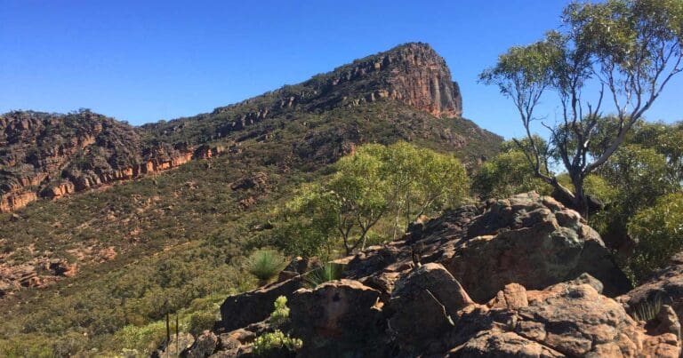
This is a challenging hike with sections that require a good level of fitness and sure footing. No formal track exists, so be prepared for some off-trail navigation.
Hike overview
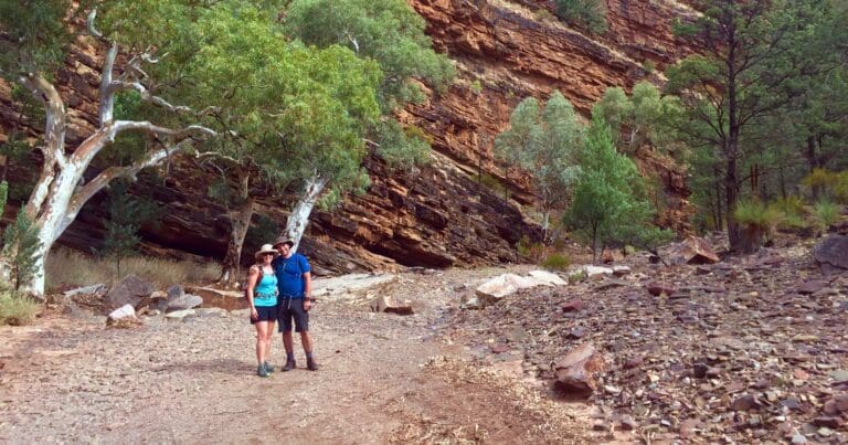
Your journey to Blinman Pools begins at Angorichina Village, nestled along the Parachilna to Blinman Road. Here, you'll set off alongside the Parachna and Blinman Creeks, which carve their way through a landscape of rugged beauty. Towering cliffs rise dramatically from the creek bed, creating a truly spectacular backdrop for your hike.
The pools themselves are named after Robert 'Pegleg' Blinman, a former shepherd at Angorichina Station. In 1859, his discovery of copper led him to trade his crook for a pickaxe, and the area became a significant mining operation for decades.
The hike offers a glimpse into this rich history. Be prepared for a challenge, as there's no formal track and some sections require physical exertion. However, well-placed signage will guide you along the way, pointing out key features and distances.
The real reward awaits at the Blinman Pools. Spring-fed waters ensure the first pool remains full year-round, while the second pool transforms after heavy rains, reaching depths of up to 3 meters and boasting cool, green waters stretching 20-30 meters across. Cascading waterfalls complete the scene, making these pools a popular picnic spot since the 1800s.
Angorichina Village was orginally established in 1927 as a hostel. Returned soldiers, suffering from tuberculosis, found the dry, rarified air of this region was just what the doctor ordered. Today the Village is a comfortable place to stay and a good base camp for the Blinman Pools Walk. Other accommodation and access to the pools, is available through Alpana' station, the property where the pools are located.
Tips
- Best time to walk April - October
- 1st pool return 10km - 4 hours.
- 2nd pool return 12 km - 5 hours.
Gallery
Got some great shots from this hike? Upload your photos here to inspire others and show off the beauty of the trail!
Click to view form >>
Submitting your photos doesn’t mean you lose ownership. You can be credited for your contributions, and you can request removal at any time.
Content use
Please don’t copy GPX files or content from this site to AllTrails or other platforms. Each trail has been personally mapped, documented, and refined to support Australia’s bushwalking and hiking community. While some details come from land managers, every listing reflects significant personal effort. This is a free, community-driven initiative—your respect helps keep it that way.
Walk map and GPX file
Max elevation: 429 m
Min elevation: 312 m
Total climbing: 241 m
Total descent: -241 m
Getting there
Getting to the trailhead: Flinders Ranges.
Blinman Pools are located 520km North of Adelaide. The trail begins at Angorichina Village, look for the trail shelter. Angorichina Village is located between Blinman and Parachilna.
Closest towns to this walk: Blinman, Hawker, Leigh Creek, Parachilna, Quorn, Wilpena Pound
About the region
The rugged, weathered peaks and rocky gorges of the Flinders Ranges in outback South Australia form some of the most dramatic and beautiful landscapes in the country. It's a place rich in Aboriginal history and home to a vast array of wildlife. Following the scenic roads, 4WD tracks and walking trails that crisscross this wild countryside will take you on a remarkable adventure. The Flinders Ranges are about 500 kilometres (311 miles) north of Adelaide, or a five-hour road trip. You can also fly from Adelaide to Port Augusta with Sharp Airlines, which takes about 55 minutes.
Similar walks nearby
Looking for more walks in or near Flinders Ranges? Try these trails with a similar difficulty grade.
Track grade
Grade 4 (Hard) - Challenging Walks for Experienced Walkers: Grade 4 on the AWTGS signifies challenging walking tracks. Bushwalking experience is recommended for these tracks, which may be long, rough, and very steep. Directional signage may be limited, requiring a good sense of navigation. These walks are suited for experienced walkers who are comfortable with steeper inclines, rougher terrain, and potentially longer distances.
Explore safe
Plan ahead and hike safely! Carry enough water, pack layers for changing conditions, and bring safety gear like a torch, PLB, and reliable communication device. Check official sources for trail updates, closures, and access requirements, and review local weather and bushfire advice. Most importantly, share your plans with someone before you go. Being prepared makes for a safer and more enjoyable hike! Stay Safe, Explore More, and Always #ExploreSafe.
Packing checklists
What you carry in your pack depends on factors like weather, terrain, and your adventure type. Not sure what to bring? My free planning, food, and packing checklists are a great starting point, covering day hikes, overnight trips, and multi-day adventures. Use them to customise your kit and always prioritise safety.
Let someone know
Before heading out, take a moment to fill out your trip intentions form. It’s a quick way to share your hike details with family or friends. If something goes wrong, they can notify emergency services, ensuring a faster response and peace of mind. Stay safe and enjoy your adventure
Suggest an edit
Spotted a change on this trail? Maybe there are new features, the route has shifted, or the trail is permanently closed. Whatever the update, I’d love your input. Your feedback helps fellow hikers stay informed and ensures that our trail info stays fresh and reliable.
Acknowledgement of Country
Trail Hiking Australia acknowledges the Traditional Owners of the lands on which we hike and pay respects to their Elders, past and present, and we acknowledge the First Nations people of other communities who may be here today.


