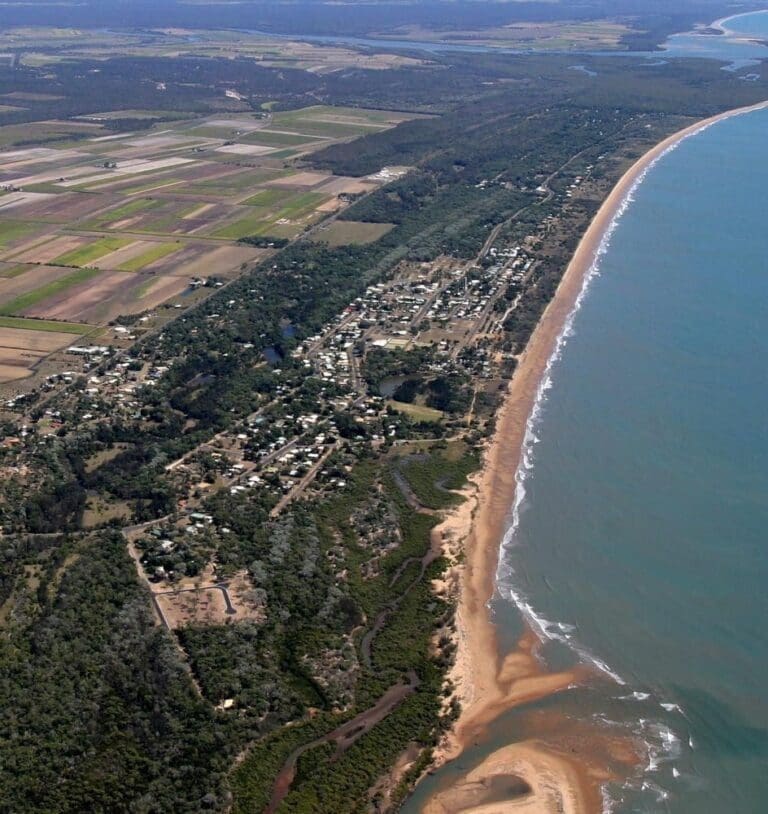
Long, golden beaches, white waves crashing into the rocks below, aquamarine ocean as far as you can see and if it's whale season you might just spot a water spouting out of a blowhole on this short, headland walk.
Got some great shots from this hike? Upload your photos here to inspire others and show off the beauty of the trail!
Submitting your photos doesn’t mean you lose ownership. You can be credited for your contributions, and you can request removal at any time.
Please don’t copy GPX files or content from this site to AllTrails or other platforms. Each trail has been personally mapped, documented, and refined to support Australia’s bushwalking and hiking community. While some details come from land managers, every listing reflects significant personal effort. This is a free, community-driven initiative—your respect helps keep it that way.
It looks like I don’t have a GPX file for this trail yet. If you have one to share, please email it to me! I’ll verify it against official maps before adding it to help other hikers have a safer, easier experience. Thanks for contributing to a better hiking resource.
Getting there
Getting to the trailhead: Seventeen Seventy.
Closest towns to this walk: Agnes Water, Baffle Creek, Miriam Vale, Round Hill, Seventeen Seventy, Tannum Sands
Similar walks nearby
Looking for more walks in or near Seventeen Seventy? Try these trails with a similar difficulty grade.
Favourite

Favourite

Favourite

Favourite

Track grade
Grade 1 (All-abilities) - Perfect for Families and Beginners: Grade 1 on the
AWTGS represents the easiest walking tracks, perfect for families with young children or those new to bushwalking. No prior experience is required. These gentle walks feature a flat, even surface with no steps or steep sections. They are suitable for wheelchair users with assistance due to the even terrain. The total distance of a Grade 1 walk is typically no greater than 5 kilometers, making them a comfortable and manageable option for all ages and fitness levels.
Explore safe
Plan ahead and hike safely! Carry enough water, pack layers for changing conditions, and bring safety gear like a torch, PLB, and reliable communication device. Check official sources for trail updates, closures, and access requirements, and review local weather and bushfire advice. Most importantly, share your plans with someone before you go. Being prepared makes for a safer and more enjoyable hike! Stay Safe, Explore More, and Always #ExploreSafe.
Packing checklists
What you carry in your pack depends on factors like weather, terrain, and your adventure type. Not sure what to bring? My free planning, food, and packing checklists are a great starting point, covering day hikes, overnight trips, and multi-day adventures. Use them to customise your kit and always prioritise safety.
Let someone know
Before heading out, take a moment to fill out your trip intentions form. It’s a quick way to share your hike details with family or friends. If something goes wrong, they can notify emergency services, ensuring a faster response and peace of mind. Stay safe and enjoy your adventure
Suggest an edit
Spotted a change on this trail? Maybe there are new features, the route has shifted, or the trail is permanently closed. Whatever the update, I’d love your input. Your feedback helps fellow hikers stay informed and ensures that our trail info stays fresh and reliable.


