Penance Grove walking track is a 250m, grade 1 hike located in Monga National Park, New South Wales. The hike should take around 12 minutes to complete.
Hike overview
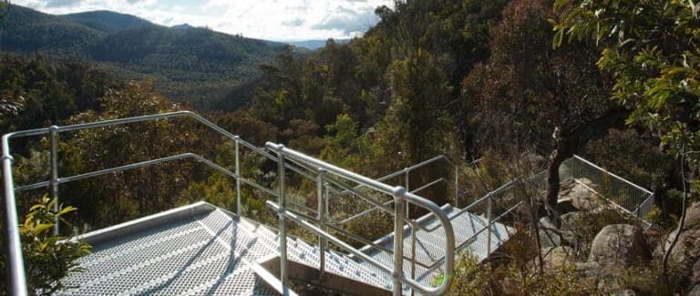
If you're visiting Monga National Park on a day trip, you simply can't miss Penance Grove. Enter this shady forest glen dappled with sunlight and discover the ancient rainforest from the wheelchair-friendly boardwalk.
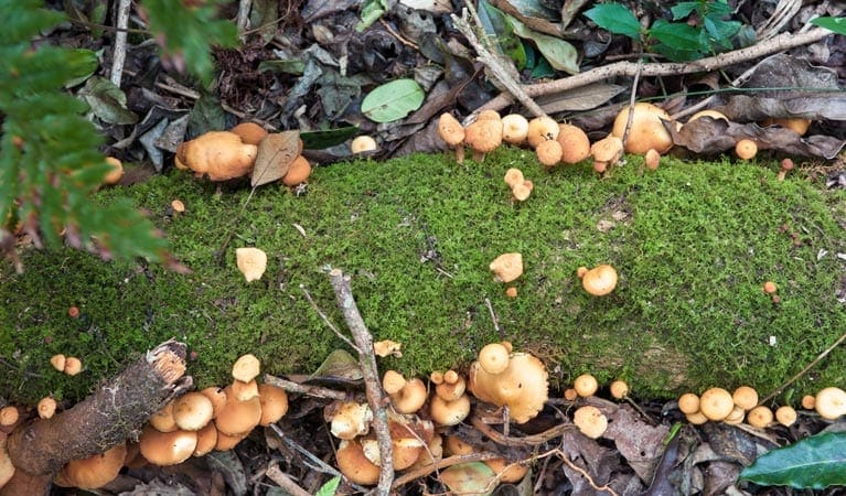
You'll see plumwood trees decorated with ferns, mosses and lichen forming a cathedral-like canopy for the tall mosses below. It's incredible to think that many of the plant species here date back millions of years to when Australia was part of the super continent, Gondwana.
In summer, it's a great place to retreat from the heat and the holiday crowds. And in early autumn, you'll see the cream-coloured flowers of the plumwood trees dotted around the rainforest floor and smell their delightful perfume.
Why not walk another 400m along Link walking track to Mongarlowe River picnic area, or drive to Dasyurus picnic area for a relaxing picnic by the banks of the river?
Route and GPX file
Help fellow hikers navigate with confidence. Share your GPX or KML file for this trail and help build a more comprehensive resource with precise waypoints and elevation profiles. Your contribution will empower adventurers with details they need for a safer and more enjoyable experience. I meticulously verify every file using official maps and surveys, ensuring the highest level of accuracy and reliability. Submit your file now and become a trailblazer for your fellow outdoor enthusiasts.
Tips
Drinking water is not available in this area, so it's a good idea to bring your own.
There is no mobile reception in this park.
Visit NSW National Parks and Wildlife Service for more information on this trail.
The longitude and latitude of the start and end points are approximately only and should not be used for navigation purposes. Please contact me if you know the correct coordinates.
Trail location
Sorry, no records were found. Please adjust your search criteria and try again.
Sorry, unable to load the Maps API.
Getting there
To Penance Grove carpark. On entering Monga National Park:Continue on River Forest Road for approximately 4.9kmPass the sign to Mongarlowe River picnic area and after 500m, you'll see the Penance Grove walking track carpark on your right. Park entry points Penance Grove carpark See on map Parking Parking is available at Penance Grove walking track.
Gallery
If you have any photos from this hike and are happy to share them, please upload your .jpg files here.
Please note: Uploading photos does not transfer ownership of copyright away from you. If requested, you will be credited for any photos you provide and can ask they be deleted at any time.
About the region
Monga National Park has something for all, with 4WD touring routes, walking and horse riding tracks to enjoy, peaceful places to picnic, and ancient forests to discover. Whether you're looking for a peaceful place to picnic, a stroll through the forest, a challenging full day hike, or a scenic drive on a 4WD touring route, there's something for everyone at Monga National Park.
You'll find cool temperate rainforest filled with ancient plumwood trees from the Gondwana Age, warm temperate rainforests and old growth eucalypt forests. Enjoy relaxing picnics along the banks of Mongarlowe River, with peaceful spots to watch the local wildlife and admire the unique Monga waratahs in flower.
Similar trails nearby
Explore Safe
While planning your hike, it’s important to check official government sources for updated information, temporary closures and trail access requirements. Before hitting the trail, check local weather and bushfire advice for planned burns and bushfire warnings and let someone know before you go. Plan ahead and hike safely.
Let someone know
Adventure with peace of mind: Fill out your trip intentions form. Before you hit the trail, fill out an online form to privately send important details about your hike to your family or friends. If you don’t return on time, they can easily alert emergency services, preventing worry and ensuring a swift response. Hike with peace of mind and enjoy your outdoor adventure to the fullest. Be smart, be safe: Register your plans here.
Gear to consider

My free planning, food and packing checklists provide an introduction to things your could consider (as well as the Ten Essentials) on your day, overnight and multi-day adventures. Customise your kit according to your personal needs, always considering safety first.
Suggest an edit
Does this hikes information need updating? Sometimes the route, trail features or access conditions change.
Acknowledgement of Country
Trail Hiking Australia acknowledges the Traditional Owners of the lands on which we hike and pay respects to their Elders, past and present, and we acknowledge the First Nations people of other communities who may be here today.


