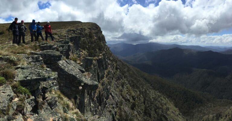
Delatite River Trail is a 22km, grade 4 hike located in Alpine National Park, Victoria. The hike should take around 8 hours to complete.
Hike overview
The Delatite River Trail will take you from Mount Buller to Mirimbah Park or vice-versa, then returns via the same route. If you choose to undertake this as a one way hike, you will need to organise a vehicle shuttle from either Mount Buller or Mirimbah Park. Each leg of the hike requires 12 log bridge crossings and some smaller creek crossings.
Commencing at the Mount Buller Village, drive to the Box Corner, and park your vehicle. Cross the road and walk through the gate and storage compound. At the sign posted junction turn left onto the Delatite River Trail.
At the intersection turn left onto Woody's Shortcut, which is shorter but steeper and more rocky, or continue ahead on a flatter but longer section of trail.
Follow the river trail along its length to Mirimbah Park before retracing your steps to Box Corner and the at the Mount Buller Village.
Route and GPX file
Max elevation: 1529 m
Min elevation: 658 m
Total climbing: 1694 m
Total descent: -1695 m
Tips
This trail is popular with horse and bike riders that may be on the trail at any time. Be prepared to move off the trail quickly.
Please note this track is subject to seasonal closures. When covered with snow, snowshoes must be worn. As a general guide, walking/hiking is encouraged from October to May inclusive and snowshoeing from June to September inclusive. For more information on snowshoe etiquette and the most up-to-date information to help you plan your trip, please contact Mount Buller Mount Stirling Resort Management 5777 6077
Reference
Trail location
Sorry, no records were found. Please adjust your search criteria and try again.
Sorry, unable to load the Maps API.
Getting there
From Melbourne, take the Hume Fwy/National Highway M31, C382, Goulburn Valley Hwy/B340, B300 and Mount Buller Rd/C320 to Summit Rd in Mount Buller. Continue on Summit Road Drive to the Buller Village. The trail head is opposite Georges along Athletes Walk. View in google Maps
Gallery
If you have any photos from this hike and are happy to share them, please upload your .jpg files here.
Please note: Uploading photos does not transfer ownership of copyright away from you. If requested, you will be credited for any photos you provide and can ask they be deleted at any time.
About the region
The Alpine National Park is a national park located in the Central Highlands and Alpine regions of Victoria, Australia. The 646,000-hectare national park is located northeast of Melbourne. It is the largest National Park in Victoria, and covers much of the higher areas of the Great Dividing Range in Victoria, including Victoria's highest point, Mount Bogong at 1,986 metres and the associated subalpine woodland and grassland of the Bogong High Plains. The park's north-eastern boundary is along the border with New South Wales, where it abuts the Kosciuszko National Park.
Similar trails nearby
Explore Safe
While planning your hike, it’s important to check official government sources for updated information, temporary closures and trail access requirements. Before hitting the trail, check local weather and bushfire advice for planned burns and bushfire warnings and let someone know before you go. Plan ahead and hike safely.
Let someone know
Adventure with peace of mind: Fill out your trip intentions form. Before you hit the trail, fill out an online form to privately send important details about your hike to your family or friends. If you don’t return on time, they can easily alert emergency services, preventing worry and ensuring a swift response. Hike with peace of mind and enjoy your outdoor adventure to the fullest. Be smart, be safe: Register your plans here.
Gear to consider

My free planning, food and packing checklists provide an introduction to things your could consider (as well as the Ten Essentials) on your day, overnight and multi-day adventures. Customise your kit according to your personal needs, always considering safety first.
Suggest an edit
Does this hikes information need updating? Sometimes the route, trail features or access conditions change.
Acknowledgement of Country
Trail Hiking Australia acknowledges the Traditional Owners of the lands on which we hike and pay respects to their Elders, past and present, and we acknowledge the First Nations people of other communities who may be here today.


