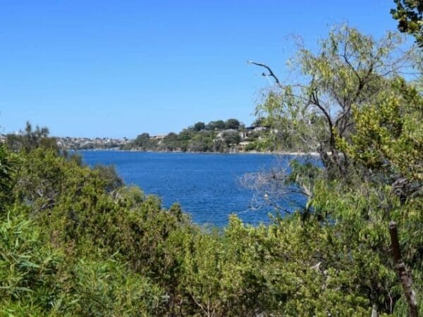
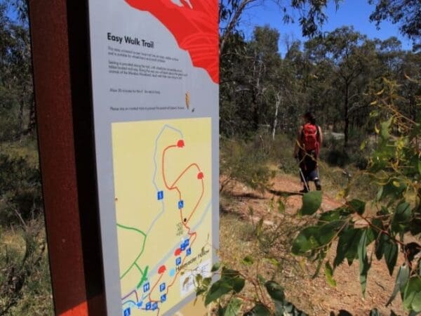
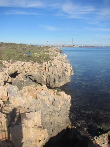
This is an easy one kilometre walk along a sealed dual-purpose path through a Bush Forever site on the Swan River foreshore. Native vegetation and a variety of bush and water Birds provide interest. Car Park, toilets, Picnic Area and playground near Garrett Road Bridge make an ideal family-friendly starting point.
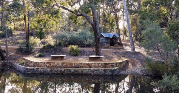
Baigup Wetland is a twenty hectare reserve seven kilometres east of Perth's CBD. Best access if coming by car is from A. P. Hinds Reserve at the end of Milne Street next to Garrett Road Bridge in Bayswater. Park here and proceed under the bridge to the start of the trail. As part of the Swan River floodplain, Baigup is sacred to the Wadjuk Noongar people of Perth. The Noongar woRoad baigup means Place of Rushes. Baigup is one of very few relatively intact riverside wetlands remaining in the middle and lower reaches of the Swan. Its serene sedge plains and interesting paperbark trees are remnants of the original fringing vegetation. Importantly, Baigup is registered nationally as a Coastal Saltmarsh Threatened Ecological Community (TEC) because of this vegetation. Two constructed lakes attract waterBirds. With eighty six species of bush and water Birds identified since mid 2012, Baigup regularly attracts Birdwatchers and photographers. In addition to the sealed path through Baigup, there are also two limestone tracks to less accessible parts of the reserve. These tracks are not suitable for wheelchairs or bicycles.
Start Point: A.P. Hinds Reserve Car Park (Bayswater Paddlesports Club) Milne Street Bayswater
End Point: Kelvin Street/Swan View Terrace junction in Maylands
Region: Bayswater, Perth
For more information, a location map and GPS file please visit Trails WA.
Grade 1 (All-abilities) - Perfect for Families and Beginners: Grade 1 on the
AWTGS represents the easiest walking tracks, perfect for families with young children or those new to bushwalking. No prior experience is required. These gentle walks feature a flat, even surface with no steps or steep sections. They are suitable for wheelchair users with assistance due to the even terrain. The total distance of a Grade 1 walk is typically no greater than 5 kilometers, making them a comfortable and manageable option for all ages and fitness levels.
Do you have a GPX file for this hike? Feel free to email it to me so I can add it to this hikes info.
Click to add your file >>
Content use
Please don’t copy GPX files or content from this site to AllTrails or other platforms. Each trail has been personally mapped, documented, and refined to support Australia’s bushwalking and hiking community. While some details come from land managers, every listing reflects significant personal effort. This is a free, community-driven initiative—your respect helps keep it that way.
Gallery
Got any photos from this hike? Your photos can help others plan. Share shots from along the trail so fellow hikers know what to expect.
Click to add your photos >>
About the region
Bayswater is a suburb 6 kilometres north-east of the central business district of Perth, the capital of Western Australia. It is located north of the Swan River, within the City of Bayswater local government area.
Let someone know
Heading out? Fill in a trip intentions form so someone knows your plans. If things go wrong, they can raise the alarm fast, giving you peace of mind on the trail.
Similar walks nearby
Looking for more walks in or near Bayswater? Try these trails with a similar difficulty grade.
Favourite

Favourite

Ellis Brook Valley Reserve
Favourite

John Forrest National Park
Favourite

Suggest an edit
Notice something different about this trail? Whether it’s a new feature, a route change, or a closure, share your update so we can keep our info accurate and helpful for fellow hikers.
Click to suggest edits >>
Explore safe
Plan ahead and hike safely! Carry enough water, pack layers for changing conditions, and bring safety gear like a torch, PLB, and reliable communication device. Check official sources for trail updates, closures, and access requirements, and review local weather and bushfire advice. Most importantly, share your plans with someone before you go. Being prepared makes for a safer and more enjoyable hike! Stay Safe, Explore More, and Always #ExploreSafe.
Packing checklists
What you carry in your pack depends on factors like weather, terrain, and your adventure type. Not sure what to bring? My free planning, food, and packing checklists are a great starting point, covering day hikes, overnight trips, and multi-day adventures. Use them to customise your kit and always prioritise safety.


