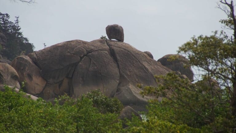
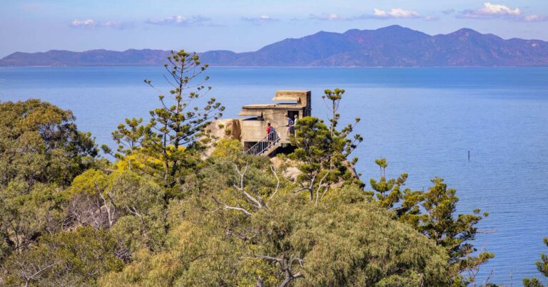
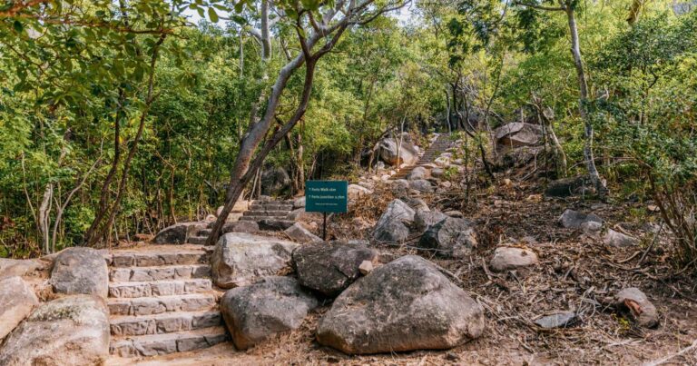
In the Mount Elliot section of this park, Alligator Creek flows through the landscape in a series of cascades, deep pools and waterfalls. The Alligator Falls track starts from the southern end of the Alligator Creek day-use area.
Got some great shots from this hike? Upload your photos here to inspire others and show off the beauty of the trail!
Uploading your photos doesn’t mean you lose ownership. You can be credited for your contributions, and you can request removal at any time.
Please don’t copy GPX files or content from this site to AllTrails or other platforms. Each trail has been personally mapped, documented, and refined to support Australia’s bushwalking and hiking community. While some details come from land managers, every listing reflects significant personal effort. This is a free, community-driven initiative—your respect helps keep it that way.
It looks like I don’t have a GPX file for this trail yet. If you have one to share, please email it to me! I’ll verify it against official maps before adding it to help other hikers have a safer, easier experience. Thanks for contributing to a better hiking resource.
Getting there
Getting to the trailhead: Bowling Green Bay National Park.
Closest towns to this walk: Ayr, Brandon, Giru, Home Hill, Townsville
About the region
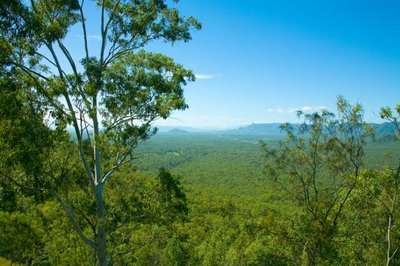
Bowling Green Bay is a national park in the Shire of Burdekin, Queensland, Australia, 1,103 km northwest of Brisbane, and 28 km south of Townsville and 59 km north of Ayr. It is a Ramsar Convention listed Site. The park protects diverse range of habitats including the rugged, forested landscape surrounding Mount Elliot and Saddle Mountain as well as coastal estuaries between Cape Cleveland and Cape Bowling Green.
Mount Elliot rises 1,342 m and has numerous creeks on its eastern slopes, of which, Alligator Creek is the most important. The creek is a popular place to swim and to watch birds drinking the creek's water or feeding on riparian vegetation.
The parks incorporates the floodplains of the Haughton River. This includes one of the largest wetlands on the east coast of Australia. The wetland arose as the coastal streams deposited material into the calm waters of Bowling Green Bay. It is composed of mud and sand flats, swamps, isolated hills, mangrove forests and inter-tidal flats.[3] Behind the areas where mangroves grow are bare salt pan. These wide expanses are a unique characteristic of North Queensland wetlands produced by comparatively low rainfall and a short wet season that never washes the salt away.
For more information on this hiking trail, please visit Queensland.com
Similar walks nearby
Looking for more walks in or near Bowling Green Bay National Park? Try these trails with a similar difficulty grade.
Favourite

Magnetic Island National Park
Favourite

Magnetic Island National Park
Favourite

Magnetic Island National Park
Favourite

Track grade
Grade 3 (Moderate) - Walks for Most Fitness Levels: Grade 3 on the
AWTGS represents moderate walking tracks. These are ideal for walkers with some fitness who are comfortable with some hills and uneven terrain. While suitable for most ages, some bushwalking experience is recommended to ensure a safe and enjoyable experience. Tracks may have short, steep hill sections, a rough surface, and many steps. The total distance of a Grade 3 walk can be up to 20 kilometers.
Explore safe
Plan ahead and hike safely! Carry enough water, pack layers for changing conditions, and bring safety gear like a torch, PLB, and reliable communication device. Check official sources for trail updates, closures, and access requirements, and review local weather and bushfire advice. Most importantly, share your plans with someone before you go. Being prepared makes for a safer and more enjoyable hike! Stay Safe, Explore More, and Always #ExploreSafe.
Packing checklists
What you carry in your pack depends on factors like weather, terrain, and your adventure type. Not sure what to bring? My free planning, food, and packing checklists are a great starting point, covering day hikes, overnight trips, and multi-day adventures. Use them to customise your kit and always prioritise safety.
Let someone know
Before heading out, take a moment to fill out your trip intentions form. It’s a quick way to share your hike details with family or friends. If something goes wrong, they can notify emergency services, ensuring a faster response and peace of mind. Stay safe and enjoy your adventure
Suggest an edit
Spotted a change on this trail? Maybe there are new features, the route has shifted, or the trail is permanently closed. Whatever the update, I’d love your input. Your feedback helps fellow hikers stay informed and ensures that our trail info stays fresh and reliable.


