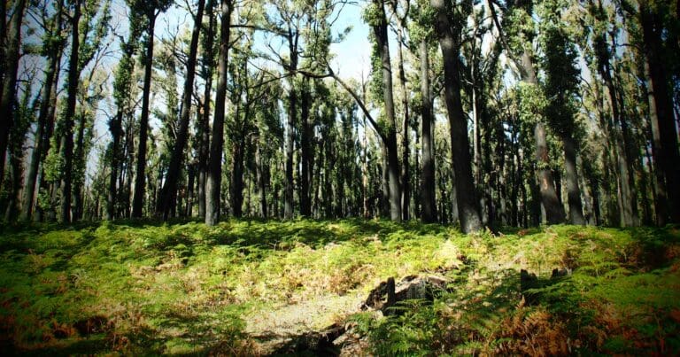
Explore the Cobaw: A Granite Wilderness
Cobaw State Forest, situated approximately 70 kilometres north-west of Melbourne, Victoria, offers a rugged escape into the Cobaw Ranges. Characterised by granitic peaks reaching a maximum elevation of 760 metres, the forest is a protected environment teeming with diverse flora and fauna.
Renowned for its mountain bike trails, the Cobaw also presents ample opportunities for a range of outdoor pursuits. Managed by the Department of Energy, Environment and Climate Action (DEECA), the forest provides a haven for walkers, bushwalkers, and hikers seeking to immerse themselves in nature. To assist with exploration, a comprehensive MapShare map outlines tracks, huts, picnic areas, and other relevant information.
Accessible via the Calder Highway or the Northern Highway, Cobaw State Forest invites visitors to discover its natural beauty and engage in a variety of outdoor activities.
Want to find the best trails in Cobaw State Forest for an adventurous hike, casual walk, or a family trip? Trail Hiking Australia has the best trails for walking, hiking, running and more.


