Couridjah Corridor walk is a 14km, grade 4 hike located in Nattai National Park, New South Wales. The hike should take around 5 hours to complete.
Hike overview
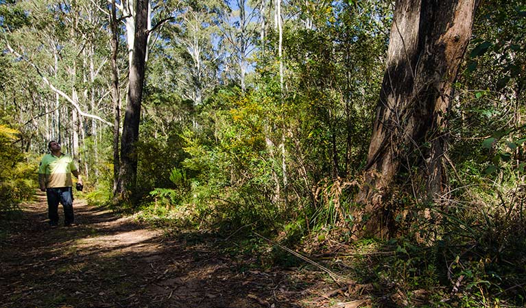
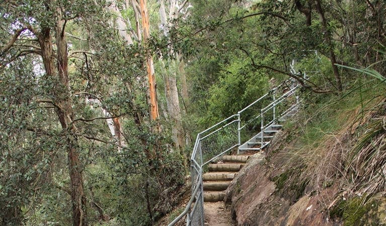
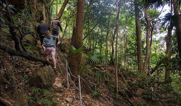
See some of the best spots of the spectacular Thirlmere Lakes and Nattai National Park along Couridjah Corridor walk. You'll pass by Hawkesbury sandstone cliffs, sheltered gorges, eucalypt forests and the wetlands of Thirlmere Lakes. When you reach the locked gate, retrace your steps along the return journey.
There's so much to discover here, including an amazing array of animals and birds, ranging from eastern grey kangaroos, wallaroos and brush-tailed rock wallabies to glossy black cockatoos and powerful owls.
'Couridjah' means 'honey' in the Gundagurra language, and this land has long been prized by Aboriginal people for its constant water supply and abundant wildlife.
Route and GPX file
Help fellow hikers navigate with confidence. Share your GPX or KML file for this trail and help build a more comprehensive resource with precise waypoints and elevation profiles. Your contribution will empower adventurers with details they need for a safer and more enjoyable experience. I meticulously verify every file using official maps and surveys, ensuring the highest level of accuracy and reliability. Submit your file now and become a trailblazer for your fellow outdoor enthusiasts.
Trail location
Sorry, no records were found. Please adjust your search criteria and try again.
Sorry, unable to load the Maps API.
Getting there
Couridjah Corridor walk is in the Thirlmere Lakes precinct of Nattai National Park. To get there:From Picton:Travel south along Remembrance DriveTurn right onto Thirlmere Way, then turn right onto Richardson Street.Veer left at Westbourne Avenue and continue on Barbour RoadFrom Bargo:Proceed north-west on Remembrance DriveAt Tahmoor, turn left onto Bargo River Road and at Couridjah, turn right onto West Parade.Enter Thirlmere Lakes National Park at either Slades Road or Pumphouse Road and follow WE Middleton Memorial Drive until you come to Bluegum carpark near a locked gate. Parking Parking is available at Bluegum carpark.
Visit NSW National Parks and Wildlife Service for more information on this trail.
The longitude and latitude of the start and end points are approximately only and should not be used for navigation purposes. Please contact me if you know the correct coordinates.
Gallery
If you have any photos from this hike and are happy to share them, please upload your .jpg files here.
Please note: Uploading photos does not transfer ownership of copyright away from you. If requested, you will be credited for any photos you provide and can ask they be deleted at any time.
About the region
Nattai National Park has plenty of astonishing beauty on offer, including Nattai River, the dominant Hawkesbury sandstone cliffs, and the inspiring views out over the park from Mount Jellore.
Throughout the park, you'll spot a large variety of animals, like wallaroos, emus, wallabies, grey kangaroos, wombats, and dingos. There are also over 160 species of birds in the area, including some truly magnificent owls and birds of prey. Keep your eyes open for platypus in the river, squirrel gliders and koalas in the trees, and rock wallabies on the ground.
You can enjoy rugged hiking in an amazing setting of giant, craggy sandstone cliffs and unspoilt bushland nestled amidst the peace and tranquillity of the valley. Try Starlight's trail or Couridjah Corridor walk. There's also a remote campground by the Nattai River known as Emitts Flat, which can be found at the end of Starlight's trail.
Similar trails nearby
Explore Safe
While planning your hike, it’s important to check official government sources for updated information, temporary closures and trail access requirements. Before hitting the trail, check local weather and bushfire advice for planned burns and bushfire warnings and let someone know before you go. Plan ahead and hike safely.
Let someone know
Adventure with peace of mind: Fill out your trip intentions form. Before you hit the trail, fill out an online form to privately send important details about your hike to your family or friends. If you don’t return on time, they can easily alert emergency services, preventing worry and ensuring a swift response. Hike with peace of mind and enjoy your outdoor adventure to the fullest. Be smart, be safe: Register your plans here.
Gear to consider

My free planning, food and packing checklists provide an introduction to things your could consider (as well as the Ten Essentials) on your day, overnight and multi-day adventures. Customise your kit according to your personal needs, always considering safety first.
Suggest an edit
Does this hikes information need updating? Sometimes the route, trail features or access conditions change.
Acknowledgement of Country
Trail Hiking Australia acknowledges the Traditional Owners of the lands on which we hike and pay respects to their Elders, past and present, and we acknowledge the First Nations people of other communities who may be here today.


