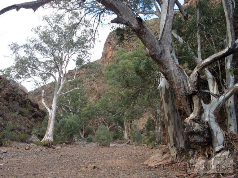
Arkaroo Rock Circuit is a 3.1km, grade 3 hike located in Ikara-Flinders Ranges National Park, South Australia. The hike should take around 1.25 hours to complete.
Hike overview
Arkaroo Rock is a significant cultural site for the Adnyamathanha people of the Flinders Ranges. This hike goes to a rock shelter with their rock paintings featuring ochre and charcoal images that depict the Yura Muda (Dreaming, or creation story) of Ikara (Wilpena Pound).
Enjoy spectacular views of the Chace Range at sunset. The rock paintings are best seen in morning light.
The trail includes bridges and regular seating benches. There is interpretive signage at the carpark trailhead.
GPX file courtesy of Walking SA. File may not contain elevation data and may only represent half the length on return hikes.
Route and GPX file
Max elevation: 0 m
Min elevation: 0 m
Total climbing: 0 m
Total descent: 0 m
For more information on this hiking trail, please visit Walking SA
Trail location
Sorry, no records were found. Please adjust your search criteria and try again.
Sorry, unable to load the Maps API.
Gallery
If you have any photos from this hike and are happy to share them, please upload your .jpg files here.
Please note: Uploading photos does not transfer ownership of copyright away from you. If requested, you will be credited for any photos you provide and can ask they be deleted at any time.
About the region
Ancient and rugged mountain landscapes, peaceful tree-lined gorges and a seasonal wealth of wildlife. The sense of space unique to the semi-arid zone combine to make Ikara-Flinders Ranges National Park one of South Australia's iconic destinations.
The park comprises approximately 95,000 hectares. It includes the Heysen Range, Brachina and Bunyeroo gorges and the vast amphitheatre of mountains that is Wilpena Pound. Experience the native wildlife, rich cultural heritage, impressive geological features, camping opportunities and a range of activities including bushwalking, four-wheel driving, birdwatching, photography and mountain biking.
Similar trails nearby
Explore Safe
While planning your hike, it’s important to check official government sources for updated information, temporary closures and trail access requirements. Before hitting the trail, check local weather and bushfire advice for planned burns and bushfire warnings and let someone know before you go. Plan ahead and hike safely.
Let someone know
Adventure with peace of mind: Fill out your trip intentions form. Before you hit the trail, fill out an online form to privately send important details about your hike to your family or friends. If you don’t return on time, they can easily alert emergency services, preventing worry and ensuring a swift response. Hike with peace of mind and enjoy your outdoor adventure to the fullest. Be smart, be safe: Register your plans here.
Gear to consider

My free planning, food and packing checklists provide an introduction to things your could consider (as well as the Ten Essentials) on your day, overnight and multi-day adventures. Customise your kit according to your personal needs, always considering safety first.
Suggest an edit
Does this hikes information need updating? Sometimes the route, trail features or access conditions change.
Acknowledgement of Country
Trail Hiking Australia acknowledges the Traditional Owners of the lands on which we hike and pay respects to their Elders, past and present, and we acknowledge the First Nations people of other communities who may be here today.


