Yuraygir Coastal Trail is a 65km, grade 4 hike located in Yuraygir National Park, New South Wales. The hike should take around 4 days to complete.
Hike overview
This is a 4 day multi grade coastal trail. Difficult in sections because of the terrain.
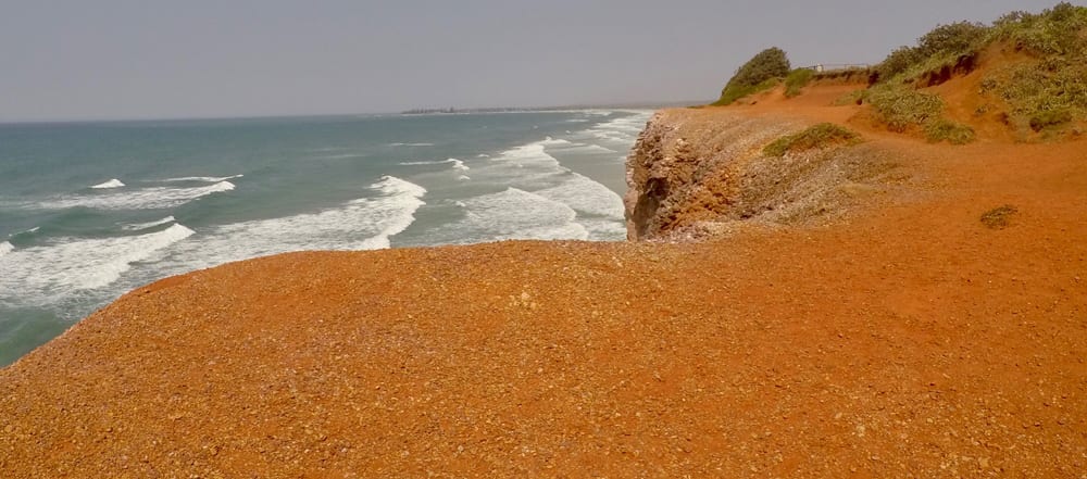
Day 1 the trail begins at Angourie NSW, a small coastal village. We dropped a car here. The first leg is approx 18km to Brooms Head, some of it over headland but predominately on the beach. You can bush camp at Lake Aragon, 5kms out of Brooms Head or continue to Brooms Head to camp at the local c'van Park. Brooms Head is a beautiful small village with a shop, club where you buy dinner etc.
Day 2 is Brooms Head to Minnie Waters, all coastal beach walking. Can be a tough 18kms in soft sand & headwind. You must get a River crossing ($10) across the Sandon River 5km from Brooms Head. Finish at Minnie Waters, a fantastic little coastal town with a great shop that serves food & coffee. We stayed at the Minnie Waters c'van Park, very clean & lovely helpful people. You can get a courtesy bus from there to Wooli pub & back for dinner.
Day 3 Minnie Waters to Wooli, very pretty, around 15kms. Up over the headland & through the bush, yellow tailed Black Cockatoos in the trees above you eating & chatting. The last 5kms back on the beach through Diggers Camp. Wooli has a c'van Park right next to the pub and another one next to the local primary school. Nice cafe near the primary school, serves great coffee & fresh muffins as well as lunch goods.
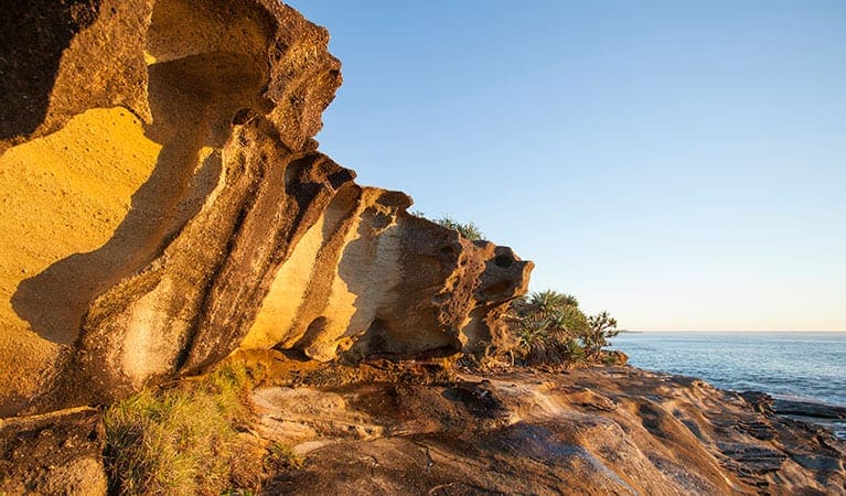
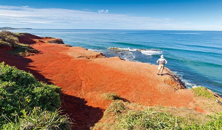
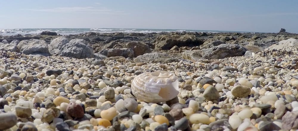
Day 4 Wooli to Red Rock about 15kms. This is the most remote section of the trail. You must get a boat crossing across the Wooli Wooli River at the start & another across at Red Rock. The trail itself is rock scrambling for about half of it, then beach walking on Pebbly Beach the other half. Both are tough & sturdy boots are recommended. The scenery here is stunning. You must do the rocky section at low tide or you will have to go up over the headland numerous times (no fun) you can stay at the Pebbly Beach (Nat'l Park) which is beautiful & right on the beach) but over priced $12 pp, for nothing more than a dirt patch & a pit toilet. 5 kms on is Red Rock, a stunning little spot with a beautiful caravan park that has great food & service. You need a boat transfer here. All boat transfers can be organised by getting on the National Parks website where phone numbers are provided. There is no cost to walk this trail.
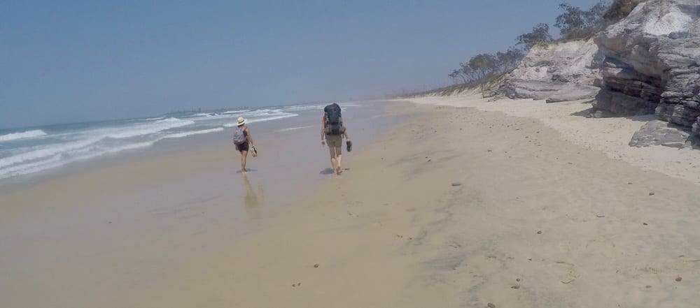
Hike and images contributed by Cheryl Morton
Route and GPX file
Help fellow hikers navigate with confidence. Share your GPX or KML file for this trail and help build a more comprehensive resource with precise waypoints and elevation profiles. Your contribution will empower adventurers with details they need for a safer and more enjoyable experience. I meticulously verify every file using official maps and surveys, ensuring the highest level of accuracy and reliability. Submit your file now and become a trailblazer for your fellow outdoor enthusiasts.
Tips
- Very little fresh water available in the trail, recommended you fill up at least 2 litres for drinking (more if you are cooking) at each overnight stop.
- Sturdy walking shoes, not sandals are preferable especially the last day
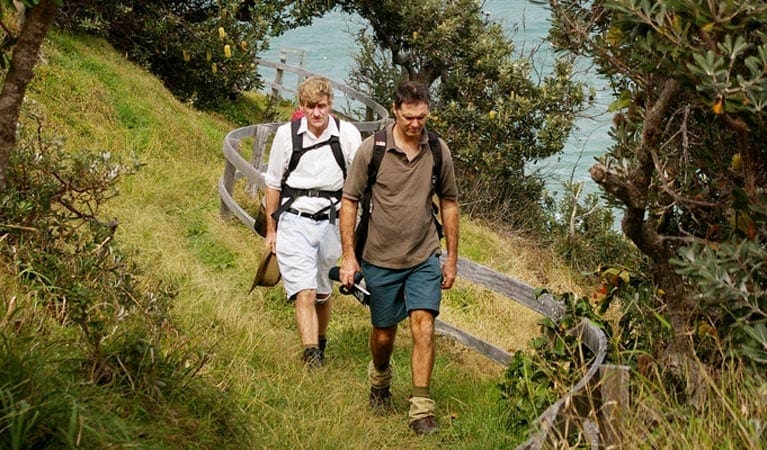
- The walk involves a series of tracks, trails, beaches and rock platforms that are linked by following the 'coastal emu footprint' marker
- Check a to ensure you're only crossing rock platforms at low tide
- Rough seas mean you may need to carry extra food as some sections of beach are unpassable, even at low tide.
Trail location
Sorry, no records were found. Please adjust your search criteria and try again.
Sorry, unable to load the Maps API.
Getting there
Fly into Ballina, then drive to Angourie (about 1.5 hours) Trail is well marked but maps are available on the National parks website
Gallery
If you have any photos from this hike and are happy to share them, please upload your .jpg files here.
Please note: Uploading photos does not transfer ownership of copyright away from you. If requested, you will be credited for any photos you provide and can ask they be deleted at any time.
Similar trails nearby
Explore Safe
While planning your hike, it’s important to check official government sources for updated information, temporary closures and trail access requirements. Before hitting the trail, check local weather and bushfire advice for planned burns and bushfire warnings and let someone know before you go. Plan ahead and hike safely.
Let someone know
Adventure with peace of mind: Fill out your trip intentions form. Before you hit the trail, fill out an online form to privately send important details about your hike to your family or friends. If you don’t return on time, they can easily alert emergency services, preventing worry and ensuring a swift response. Hike with peace of mind and enjoy your outdoor adventure to the fullest. Be smart, be safe: Register your plans here.
Gear to consider

My free planning, food and packing checklists provide an introduction to things your could consider (as well as the Ten Essentials) on your day, overnight and multi-day adventures. Customise your kit according to your personal needs, always considering safety first.
Suggest an edit
Does this hikes information need updating? Sometimes the route, trail features or access conditions change.
Acknowledgement of Country
Trail Hiking Australia acknowledges the Traditional Owners of the lands on which we hike and pay respects to their Elders, past and present, and we acknowledge the First Nations people of other communities who may be here today.
