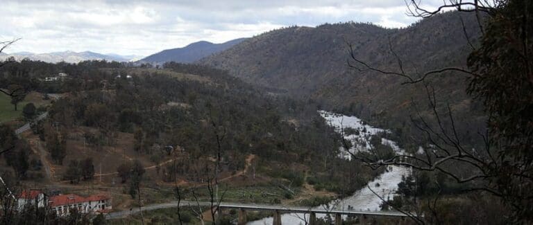
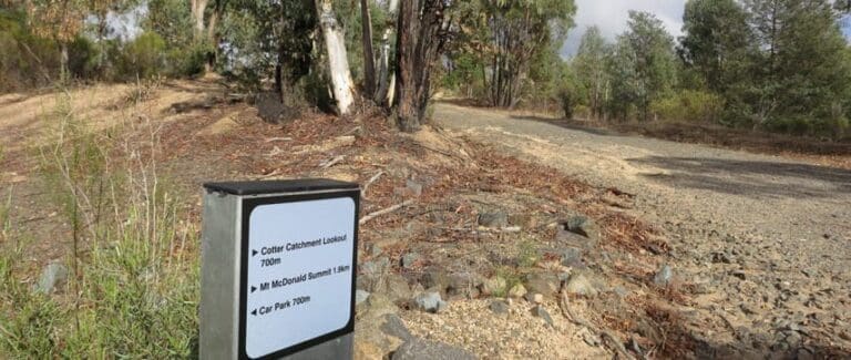
The Bullen Track is a 4.5km, grade 3 hike located in Cotter Bend, Australian Capital Territory. The hike should take around 1.5 hours to complete.
Hike overview
This fascinating walking trail explores both sides of the Cotter River before climbing up the side of the Bullen Range then down to cross the Paddys River. There is no bridge so you may get your feet wet as you wade and rock hop across. After crossing the river you wind your way up to end at the Cotter Caves which are closed to the public due to vandalism, safety and conservation concerns. However, you can still see inside and learn about the history of mineral exploration in Canberra.
Route and GPX file
Max elevation: 541 m
Min elevation: 473 m
Total climbing: 157 m
Total descent: -157 m
Trail location
Sorry, no records were found. Please adjust your search criteria and try again.
Sorry, unable to load the Maps API.
Gallery
If you have any photos from this hike and are happy to share them, please upload your .jpg files here.
Please note: Uploading photos does not transfer ownership of copyright away from you. If requested, you will be credited for any photos you provide and can ask they be deleted at any time.
About the region
The Cotter Bend, where the Paddys River meets the Cotter River, is a favourite with many for a swim, splash and for fishing. A wide pool and sandy beach marks the meeting of the two rivers. Paddys River has its genesis at Mount Tennent beyond Tharwa in Namadgi National Park and its fresh clean waters complement the Cotter as they come together at the 'Bend'.
The Cotter Bend has plenty of grassy areas with shade on sunny days, and you will often see families picnicking or playing cricket. There are free barbeques and toilet facilities available. From here you can walk the Bullen Track to the historic Cotter Caves, or go for a stroll along the river. No bins are provided - please take your rubbish home with you. No dogs allowed. For dog friendly recreation along the Murrumbidgee River you can go to Uriarra Crossing, Murrays Corner or Point Hut Crossing.
Similar trails nearby
Explore Safe
While planning your hike, it’s important to check official government sources for updated information, temporary closures and trail access requirements. Before hitting the trail, check local weather and bushfire advice for planned burns and bushfire warnings and let someone know before you go. Plan ahead and hike safely.
Let someone know
Adventure with peace of mind: Fill out your trip intentions form. Before you hit the trail, fill out an online form to privately send important details about your hike to your family or friends. If you don’t return on time, they can easily alert emergency services, preventing worry and ensuring a swift response. Hike with peace of mind and enjoy your outdoor adventure to the fullest. Be smart, be safe: Register your plans here.
Gear to consider

My free planning, food and packing checklists provide an introduction to things your could consider (as well as the Ten Essentials) on your day, overnight and multi-day adventures. Customise your kit according to your personal needs, always considering safety first.
Suggest an edit
Does this hikes information need updating? Sometimes the route, trail features or access conditions change.
Acknowledgement of Country
Trail Hiking Australia acknowledges the Traditional Owners of the lands on which we hike and pay respects to their Elders, past and present, and we acknowledge the First Nations people of other communities who may be here today.


1 Review on “The Bullen Track (4.5km)”
The Bullen Track is currently closed between the two river crossings.