Rodriguez Pass walking track is a 12km, grade 5 hike located in Blue Mountains National Park, New South Wales. The hike should take around 6 hours to complete.
Hike overview
Rodriguez Pass walking track is a must for experienced bushwalkers looking for a heart-pumping day hike in the Blue Mountains.
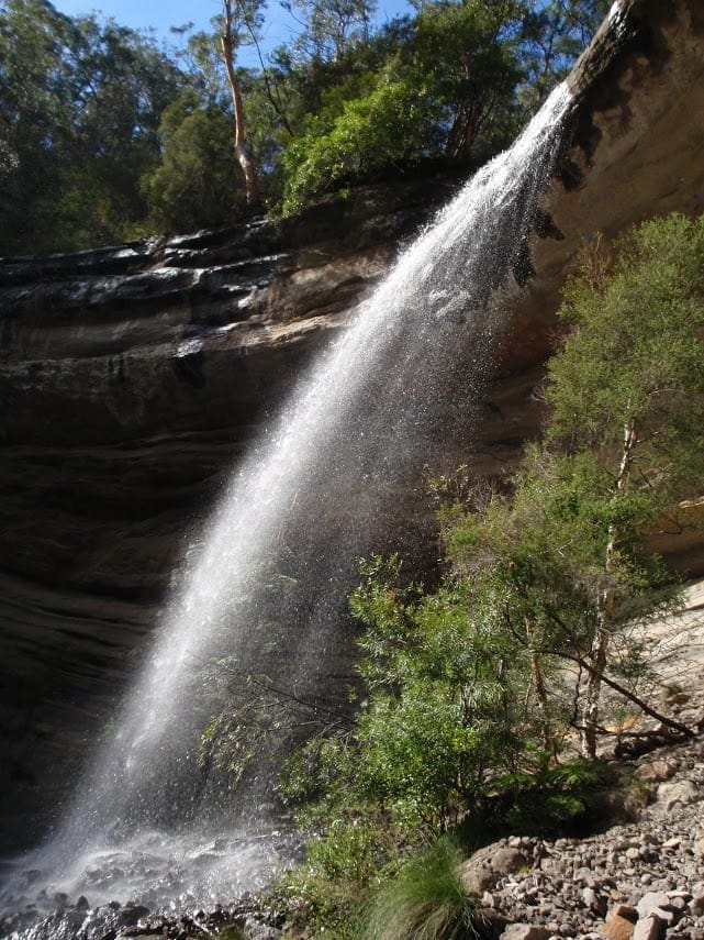
Start at the famous Govetts Leap lookout and descend into the Grose Valley, past hanging swamps, to the base of Bridal Veil Falls. At 180m, it's the tallest single-drop waterfall in the Blue Mountains.
The walking track winds along Govetts Leap Brook for around 2km, until it meets Govetts Creek at Junction Rock. This is a great place to catch your breath, enjoy a scenic lunch, or take a dip in the creek. You might even spot crayfish. Take a moment to sit back and enjoy the abundant birdlife, including yellow robins, scrub wrens and thornbills, and the beauty of this remote part of the Blue Mountains.
From here, the track turns towards Evans lookout. This section involves some steep climbing, sandstone stairs, creek crossings and scrambling over boulders, before reaching Beauchamp Falls and the Grand Canyon. After climbing the historic stone stairs out of the canyon you'll be back up on the escarpment to enjoy unforgettable views from Evans lookout.
Loop back to Govetts Leap by taking the 3km Cliff Top walking track. You can also arrange a car shuffle between the 2 lookouts.
Route and GPX file
Help fellow hikers navigate with confidence. Share your GPX or KML file for this trail and help build a more comprehensive resource with precise waypoints and elevation profiles. Your contribution will empower adventurers with details they need for a safer and more enjoyable experience. I meticulously verify every file using official maps and surveys, ensuring the highest level of accuracy and reliability. Submit your file now and become a trailblazer for your fellow outdoor enthusiasts.
Tips
Rodriguez Pass walking track can be started from either Govetts Leap lookout or Evans lookout.
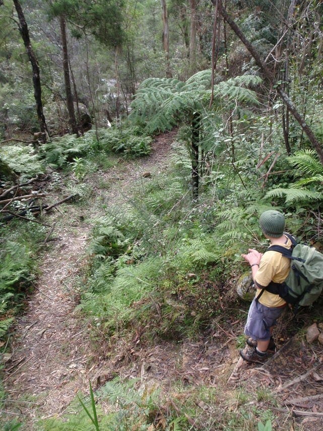
This long walking track is very steep and difficult, and has minimal signage. It's recommended for experienced hikers with good fitness and navigation skills.
Take care as there are exposed cliff edges, steep stairs and slippery creek crossings. Check the weather before you go as creeks can flood after heavy rain.
Visit Blue Mountains Heritage Centre at Govetts Leap before you set out. Pick up maps, route advice, fill in the free trip intention form and hire a PLB.
It's a good idea to take a topographic map, GPS and compass.
From Junction Rock you can extend your walk 3km to remote Acacia Flat campground and onto Blue Gum Forest.
Visit NSW National Parks and Wildlife Service for more information on this trail.
The longitude and latitude of the start and end points are approximately only and should not be used for navigation purposes. Please contact me if you know the correct coordinates.
Trail location
Sorry, no records were found. Please adjust your search criteria and try again.
Sorry, unable to load the Maps API.
Getting there
To Govetts Leap carpark. Rodriguez Pass walking track is in the Blackheath area of Blue Mountains National Park. To get there:From Sydney:Drive west on Great Western Highway to Blackheath.Turn right on to Govetts Leap Road and drive 3km, until you reach the end of the road.The walk starts to the left of Govetts Leap lookout.You can also drive to Evans lookout, at the end of Evans Lookout Road, if you plan to walk in the opposite direction. Park entry points Govetts Leap carpark See on map Road quality Sealed roads Vehicle access 2WD vehicles Weather restrictions All weather Parking Parking is available at Govetts Leap lookout or Evans lookout. Bus parking is available.
Gallery
If you have any photos from this hike and are happy to share them, please upload your .jpg files here.
Please note: Uploading photos does not transfer ownership of copyright away from you. If requested, you will be credited for any photos you provide and can ask they be deleted at any time.
Similar trails nearby
Explore Safe
While planning your hike, it’s important to check official government sources for updated information, temporary closures and trail access requirements. Before hitting the trail, check local weather and bushfire advice for planned burns and bushfire warnings and let someone know before you go. Plan ahead and hike safely.
Let someone know
Adventure with peace of mind: Fill out your trip intentions form. Before you hit the trail, fill out an online form to privately send important details about your hike to your family or friends. If you don’t return on time, they can easily alert emergency services, preventing worry and ensuring a swift response. Hike with peace of mind and enjoy your outdoor adventure to the fullest. Be smart, be safe: Register your plans here.
Gear to consider

My free planning, food and packing checklists provide an introduction to things your could consider (as well as the Ten Essentials) on your day, overnight and multi-day adventures. Customise your kit according to your personal needs, always considering safety first.
Suggest an edit
Does this hikes information need updating? Sometimes the route, trail features or access conditions change.
Acknowledgement of Country
Trail Hiking Australia acknowledges the Traditional Owners of the lands on which we hike and pay respects to their Elders, past and present, and we acknowledge the First Nations people of other communities who may be here today.


