Nelly and Horseshoe Bay Curcuit is a 19 km, grade 3 hike located in Magnetic Island, Queensland. The hike should take around 5 hours to complete.
Hike overview
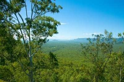
The Nelly and Horseshoe Bay Curcuit is a beautiful walk through thick bushland and pockets of tropical forest. You will walk half way through the lovely Horseshoe Bay with bars and restaurants which provide a great spot for a lunch break.
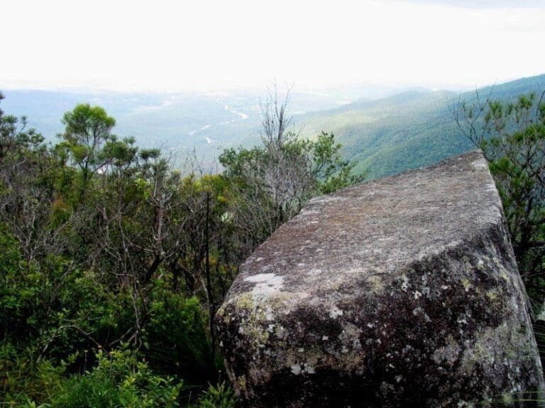
From Nelly Bay, this walk passes through a rainforest pocket, climbs gradually to the saddle between Nelly and Horseshoe Bays and follows a ridge with views over Arcadia and Horseshoe Bay. The track then branches, with one track leading on to Horseshoe Bay, where you can continue on to other tracks. The hike commences at the ferry terminal on Magnetic Island turning left along the Mandalay Avenue which ends at the hiking trail. After the first 3 km you reach the first steep incline, approximately 200m of elevation gain within approximately 2km. From here the trail is relatively steady going back to almost sea level at a distance of 10 km. Another short incline follows at the 11km mark followed by a steady and exhausting ascent at at 15km mark on the way back.
Route and GPX file
Max elevation: 289 m
Min elevation: 54 m
Total climbing: 459 m
Total descent: -460 m
Trail location
Sorry, no records were found. Please adjust your search criteria and try again.
Sorry, unable to load the Maps API.
Getting there
Take the ferry from Townsville near Breakwater Marina. It's a 20 minutes trip to the Island. The hike commences at the ferry terminal on Magnetic Island turning left along the Mandalay Avenue which ends at the hiking trail.
Gallery
If you have any photos from this hike and are happy to share them, please upload your .jpg files here.
Please note: Uploading photos does not transfer ownership of copyright away from you. If requested, you will be credited for any photos you provide and can ask they be deleted at any time.
About the region
For those that enjoy discovering nature on foot, Magnetic Island offers an extensive 25km network of walking trails that guide visitors through thick bushland, ranging from dry wattles and the beautiful barks of eucalypts to pockets of rainforest. Along the way discover many lookout points boasting stunning views of the surrounding bays and beaches!
The most famous and popular trail of them all is the Forts Walk which is roughly a 90 minute return walk and is the best place on the island to see Northern Australia's largest population of koalas in the wild. The Forts Walk offers magical 360 degree views of the coast and Coral Sea. It is here that you will also discover fascinating WWII history with a number of gun emplacements, an observation tower and a command post still intact.
Similar trails nearby
Explore Safe
While planning your hike, it’s important to check official government sources for updated information, temporary closures and trail access requirements. Before hitting the trail, check local weather and bushfire advice for planned burns and bushfire warnings and let someone know before you go. Plan ahead and hike safely.
Let someone know
Adventure with peace of mind: Fill out your trip intentions form. Before you hit the trail, fill out an online form to privately send important details about your hike to your family or friends. If you don’t return on time, they can easily alert emergency services, preventing worry and ensuring a swift response. Hike with peace of mind and enjoy your outdoor adventure to the fullest. Be smart, be safe: Register your plans here.
Gear to consider

My free planning, food and packing checklists provide an introduction to things your could consider (as well as the Ten Essentials) on your day, overnight and multi-day adventures. Customise your kit according to your personal needs, always considering safety first.
Suggest an edit
Does this hikes information need updating? Sometimes the route, trail features or access conditions change.
Acknowledgement of Country
Trail Hiking Australia acknowledges the Traditional Owners of the lands on which we hike and pay respects to their Elders, past and present, and we acknowledge the First Nations people of other communities who may be here today.


