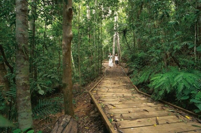
Nandroya Falls Circuit Track is a 6km, grade 3 hike located in Wooroonooran National Park, Queensland. The hike should take around 2.5 hours to complete.
Hike overview
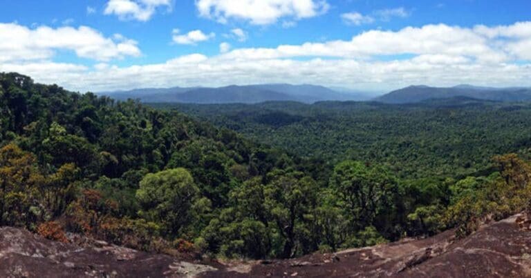
Nandroya Falls Circuit Track is located within Palmerston (Doongan) Wooroonooran National Park. The Palmerston section of Wooroonooran National Park is included in the traditional lands of the Ma:Mu Aboriginal people. At the heart of the Wet Tropics World Heritage Area, it is a place of very high biodiversity, due to the high rainfall and fertile soils derived from basalt rocks. The dense rainforest attracts a diverse range of animals. Bright butterflies are commonly encountered and observant visitors may see a platypus swimming in the creek or a musky rat-kangaroo hopping through the forest.
Route and GPX file
Help fellow hikers navigate with confidence. Share your GPX or KML file for this trail and help build a more comprehensive resource with precise waypoints and elevation profiles. Your contribution will empower adventurers with details they need for a safer and more enjoyable experience. I meticulously verify every file using official maps and surveys, ensuring the highest level of accuracy and reliability. Submit your file now and become a trailblazer for your fellow outdoor enthusiasts.
Trail location
Sorry, no records were found. Please adjust your search criteria and try again.
Sorry, unable to load the Maps API.
Getting there
The Nandroya Falls circuit track starts from the Henrietta Creek camping area carpark, off the Palmerston highway
Gallery
If you have any photos from this hike and are happy to share them, please upload your .jpg files here.
Please note: Uploading photos does not transfer ownership of copyright away from you. If requested, you will be credited for any photos you provide and can ask they be deleted at any time.
About the region
Wooroonooran National Park offers visitors a variety of recreational opportunities. Walshs Pyramid provides a challenging hiking trail not far from Cairns, while Goldsborough Valley offers opportunities for canoeing, mountain biking, walking and camping. Josephine Falls features a cascading waterfall and the beginning of the trail up Queensland's highest peakBartle Frere, while Palmerston (Doongan) is renowned for beautiful rainforest, wild rivers, steep gorges, cascading waterfalls and the Mamu Tropical Skywalk
Similar trails nearby
Explore Safe
While planning your hike, it’s important to check official government sources for updated information, temporary closures and trail access requirements. Before hitting the trail, check local weather and bushfire advice for planned burns and bushfire warnings and let someone know before you go. Plan ahead and hike safely.
Let someone know
Adventure with peace of mind: Fill out your trip intentions form. Before you hit the trail, fill out an online form to privately send important details about your hike to your family or friends. If you don’t return on time, they can easily alert emergency services, preventing worry and ensuring a swift response. Hike with peace of mind and enjoy your outdoor adventure to the fullest. Be smart, be safe: Register your plans here.
Gear to consider

My free planning, food and packing checklists provide an introduction to things your could consider (as well as the Ten Essentials) on your day, overnight and multi-day adventures. Customise your kit according to your personal needs, always considering safety first.
Suggest an edit
Does this hikes information need updating? Sometimes the route, trail features or access conditions change.
Acknowledgement of Country
Trail Hiking Australia acknowledges the Traditional Owners of the lands on which we hike and pay respects to their Elders, past and present, and we acknowledge the First Nations people of other communities who may be here today.


