Mount Brogden walking track is a 5km, grade 5 hike located in Cocoparra National Park, New South Wales. The hike should take around 3 hours to complete.
Hike overview
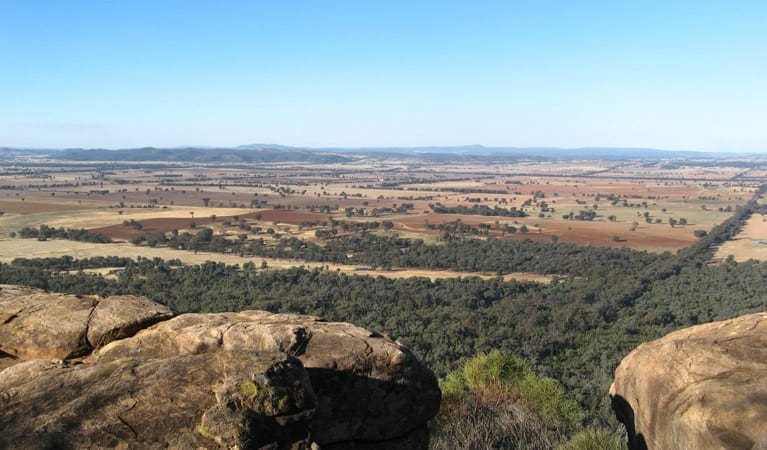
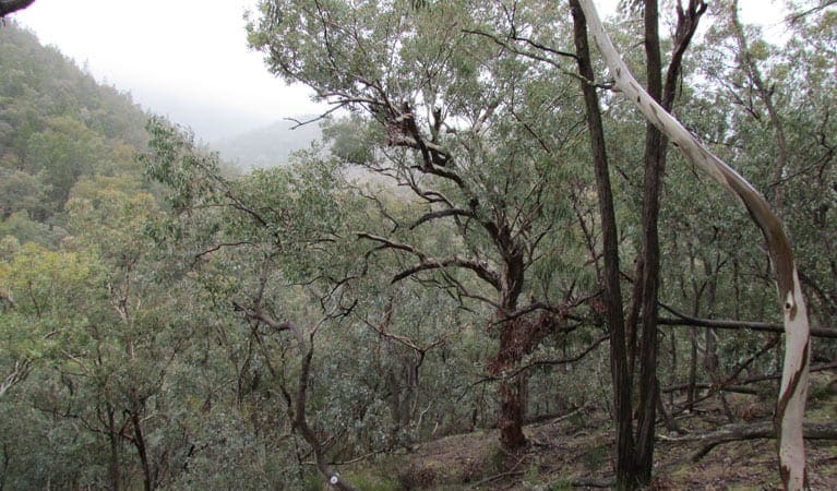
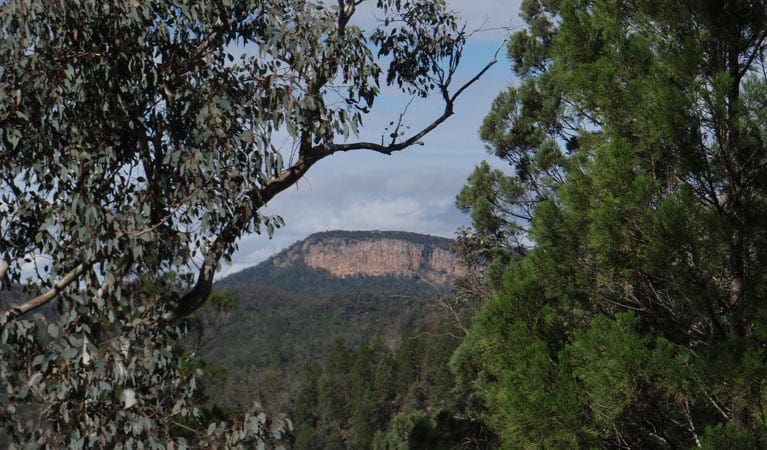
A real nature-lover's track, this great half-day walk leads you to the lookout at the top of Mount Brogden. As you set out, take a good look at the surrounding native bushland. It's predominantly white cypress pine, with a smattering of bimble box trees thrown in for good measure. As the track increases in height, however, you'll notice black cypress pines, Dwyer's mallee gums and drooping she-oaks becoming more prevalent. Look for the orangey-brown blooms of rusty spider flowers amongst it all, or, better yet, do this walk in spring for an all-encompassing display of wildflowers. Continue hiking up past the rugged ranges, all the while looking out for kangaroos and echidnas, as well as birdwatching enthusiast favourites such as honeyeaters, parrots and glossy black cockatoos. Whether you're a keen bushwalker, birdwatcher or photographer, you're bound to be amazed by the view from the top of this scenic walking track. As you take in the patchwork farmland, pretty gullies and Murrumbidgee River tree-line, you're sure to be planning your next visit to this scenic pocket of south-western NSW.
Route and GPX file
Help fellow hikers navigate with confidence. Share your GPX or KML file for this trail and help build a more comprehensive resource with precise waypoints and elevation profiles. Your contribution will empower adventurers with details they need for a safer and more enjoyable experience. I meticulously verify every file using official maps and surveys, ensuring the highest level of accuracy and reliability. Submit your file now and become a trailblazer for your fellow outdoor enthusiasts.
Trail location
Sorry, no records were found. Please adjust your search criteria and try again.
Sorry, unable to load the Maps API.
Getting there
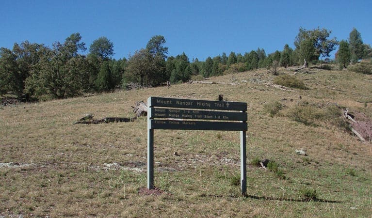
To Mount Brogden carpark. Mount Brogden walking track starts at the picnic area on Binya Forest Drive in Binya State Forest, leading into the southern end of Cocoparra National Park. To get there from Griffith:Travel along Burley Griffin Way past YendaTurn left onto Barry Scenic DriveTurn right onto Binya Forest Drive after about 3.5kmYou'll find the picnic area about 4.5 km along the road Park entry points Mount Brogden carpark See on map Road quality Check the weather before you set out as the road to the Mount Brogden walking track can become boggy when it rains. Parking Parking is available at the picnic area off Binya Forest Drive in Binya State Forest, where the track begins.
Visit NSW National Parks and Wildlife Service for more information on this trail.
The longitude and latitude of the start and end points are approximately only and should not be used for navigation purposes. Please contact me if you know the correct coordinates.
Gallery
If you have any photos from this hike and are happy to share them, please upload your .jpg files here.
Please note: Uploading photos does not transfer ownership of copyright away from you. If requested, you will be credited for any photos you provide and can ask they be deleted at any time.
About the region
Cocoparra National Park in the Murray-Riverina region
Cocoparra National Park is always open but may have to close at times due to poor weather or fire danger.
Similar trails nearby
Explore Safe
While planning your hike, it’s important to check official government sources for updated information, temporary closures and trail access requirements. Before hitting the trail, check local weather and bushfire advice for planned burns and bushfire warnings and let someone know before you go. Plan ahead and hike safely.
Let someone know
Adventure with peace of mind: Fill out your trip intentions form. Before you hit the trail, fill out an online form to privately send important details about your hike to your family or friends. If you don’t return on time, they can easily alert emergency services, preventing worry and ensuring a swift response. Hike with peace of mind and enjoy your outdoor adventure to the fullest. Be smart, be safe: Register your plans here.
Gear to consider

My free planning, food and packing checklists provide an introduction to things your could consider (as well as the Ten Essentials) on your day, overnight and multi-day adventures. Customise your kit according to your personal needs, always considering safety first.
Suggest an edit
Does this hikes information need updating? Sometimes the route, trail features or access conditions change.
Acknowledgement of Country
Trail Hiking Australia acknowledges the Traditional Owners of the lands on which we hike and pay respects to their Elders, past and present, and we acknowledge the First Nations people of other communities who may be here today.


