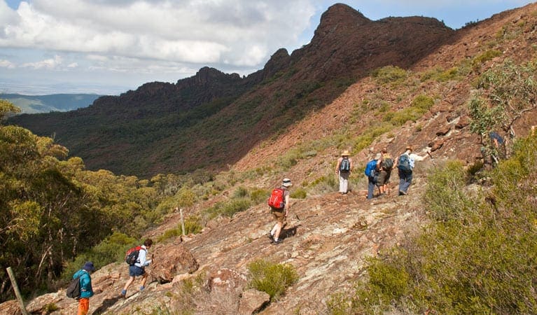
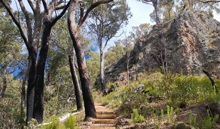
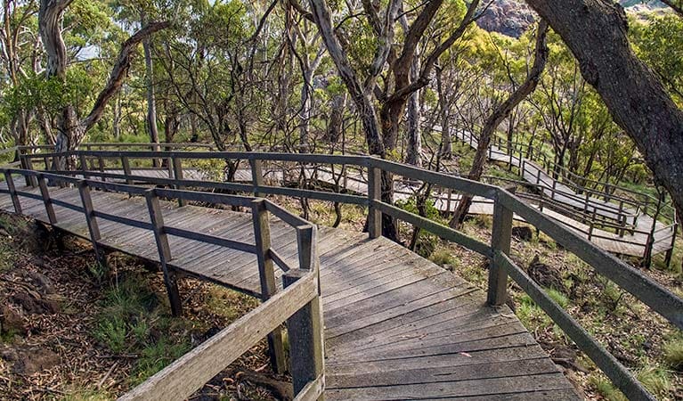
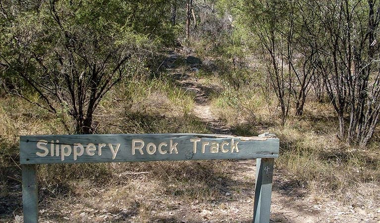
Mill-bullah walking track is a 1km, grade 4 hike located in Mount Kaputar National Park, New South Wales. The hike should take around 45 minutes to complete.
Hike overview
A visit to Waa Gorge doesn't need to end with its picnic area. Indeed, this is only the beginning: from here, you can explore the nooks and crannies of the ancient formation. Mill-bullah walking track offers a good introduction, finishing at the beautiful Mill-bullah waterholes. 'Mill-bullah' means 'two eyes', and nearly anybody can see them on this medium-grade path along a shady creek.
Start your walk near the information shelter, which provides a fascinating insight into the box-cypress forest and dry rainforest of the area. The track from here is just 500m long, so it's suitable for most visitors. For the best experience, visit in spring or autumn, when temperatures are cool, and bring some binoculars for a bit of birdwatching along the way.
From the Mill-bullah waterholes, experienced walkers can continue on to Waa Gorge through Grattai Wilderness Area by taking Waa Gorge walking track.
Route and GPX file
Help fellow hikers navigate with confidence. Share your GPX or KML file for this trail and help build a more comprehensive resource with precise waypoints and elevation profiles. Your contribution will empower adventurers with details they need for a safer and more enjoyable experience. I meticulously verify every file using official maps and surveys, ensuring the highest level of accuracy and reliability. Submit your file now and become a trailblazer for your fellow outdoor enthusiasts.
Trail location
Sorry, no records were found. Please adjust your search criteria and try again.
Sorry, unable to load the Maps API.
Getting there
Mill-Bullah walking track is in the Waa Gorge precinct of Mount Kaputar National Park. Allambie Road is dry weather access only. To get there:From Narrabri:Travel north along Newell Highway towards Moree for 3kmTurn right onto Killarney Gap Road (Bingara Road).After about 21km, turn left onto Melburra Road (SR3 to Terry Hie Hie).After approximately 30km, you'll reach a T-junction. Turn right on Allambie Road to Waa Gorge.Travel 6.5km to the park entrance. Waa Gorge carpark and picnic area is a further 1.5km. From Moree:Travel east on Gwydir Highway towards WarialdaAfter 6.2km, turn right to Terry Hie Hie.Travel about 35km through Terry Hie Hie and take the left fork through the Berrygil portion of Terry Hie Hie Aboriginal Area. Travel 14km and turn left onto Allambie Road.Travel 6.5km to the park entrance. Waa Gorge carpark and picnic area is a further 1.5km Road quality Allambie Road is dry weather access only and passes through private property, so please respect landholders by leaving gates as you find them and staying off wet roads. Check the weather before you set out as the road to Waa Gorge can become boggy when it rains. Parking Parking is available at Waa Gorge picnic area.
Visit NSW National Parks and Wildlife Service for more information on this trail.
The longitude and latitude of the start and end points are approximately only and should not be used for navigation purposes. Please contact me if you know the correct coordinates.
Gallery
If you have any photos from this hike and are happy to share them, please upload your .jpg files here.
Please note: Uploading photos does not transfer ownership of copyright away from you. If requested, you will be credited for any photos you provide and can ask they be deleted at any time.
About the region
With camping, cycling, walking, horse riding and bird watching waiting for you on this scenic mountain range, Mount Kaputar is a fantastic wilderness escape in NSW. Be awed by towering forests, breathtaking rock formations and stunning scenery at Mount Kaputar National Park. Roughly 1 hour's drive from Narrabri in northern NSW, Mount Kaputar is an explorer's paradise.
Take in the views from the park's lookouts, have a relaxing picnic or barbecue, or stay overnight in a picturesque campground or cabin accommodation. Bring your binoculars to enjoy bird watching, or to search for possums and greater gliders after dark. Or for a more adventurous trip; walk one of the park's many tracks, or go for a mountain bike or horse ride through the spectacular landscape.
Similar trails nearby
Explore Safe
While planning your hike, it’s important to check official government sources for updated information, temporary closures and trail access requirements. Before hitting the trail, check local weather and bushfire advice for planned burns and bushfire warnings and let someone know before you go. Plan ahead and hike safely.
Let someone know
Adventure with peace of mind: Fill out your trip intentions form. Before you hit the trail, fill out an online form to privately send important details about your hike to your family or friends. If you don’t return on time, they can easily alert emergency services, preventing worry and ensuring a swift response. Hike with peace of mind and enjoy your outdoor adventure to the fullest. Be smart, be safe: Register your plans here.
Gear to consider

My free planning, food and packing checklists provide an introduction to things your could consider (as well as the Ten Essentials) on your day, overnight and multi-day adventures. Customise your kit according to your personal needs, always considering safety first.
Suggest an edit
Does this hikes information need updating? Sometimes the route, trail features or access conditions change.
Acknowledgement of Country
Trail Hiking Australia acknowledges the Traditional Owners of the lands on which we hike and pay respects to their Elders, past and present, and we acknowledge the First Nations people of other communities who may be here today.


