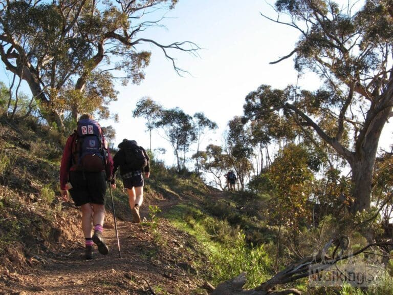
Melrose Nature Circuit is a 2.6km, grade 3 hike located in Mount Remarkable National Park, South Australia. The hike should take around 1.5 hours to complete.
Hike overview
Enjoy a walk through the foothills of Mount Remarkable on the Melrose Nature Hike. The trail visits Cathedral Rock, where there is a picnic area.
The trail network is shared with mountain bikers. The trail begins from the swingbridge near the caravan park, at the end of Joes Road.
At first the trail seems as if it is not well sign-posted, but actually it is, it's just that the mountain bike trails are so well sign-posted they seem to dominate. The Melrose Nature Hike is signposted by small metal hiking icons, and with the help of a few old short yellow arrow signs. Generally you can follow the mountain bike signs for the Farmers Freewheeling Run Track. The Melrose Nature Hike isn't marked on the good mountain bike trail maps.
There is an optional sidetrip to Melrose Mine and Bald Hill Lookout.
The official maps on the signs at the trailhead have the section between the Brewery Street Trailhead and the swingbridge masked out. This former trail used to be on the northern side of the river. However there is a new walking and cycling trail along the southern side of the river, which passes through the stick-fence gate near Brewery Street.
The recommended walk time is 3 hours, but the trail could be completed in 1.5 hours to 3 hours.
GPX file courtesy of Walking SA. File may not contain elevation data and may only represent half the length on return hikes.
Route and GPX file
Max elevation: 493 m
Min elevation: 398 m
Total climbing: 64 m
Total descent: -30 m
For more information on this hiking trail, please visit Walking SA
Trail location
Sorry, no records were found. Please adjust your search criteria and try again.
Sorry, unable to load the Maps API.
Gallery
If you have any photos from this hike and are happy to share them, please upload your .jpg files here.
Please note: Uploading photos does not transfer ownership of copyright away from you. If requested, you will be credited for any photos you provide and can ask they be deleted at any time.
About the region
Within easy reach of Adelaide, Mount Remarkable National Park is an ideal place to take the family. There's lots of diverse wildlife and campgrounds with good facilities. The park is a popular destination for bushwalking, with trails for all ages and abilities. There are some incredible views to be had the 960m high Mount Remarkable Summit presides over the Willochra Plain and looks out to the Spencer Gulf. The Willowie Forest area offers a network of mountain biking and walking trails that meander through foothills of the Mount Remarkable Range.
Similar trails nearby
Explore Safe
While planning your hike, it’s important to check official government sources for updated information, temporary closures and trail access requirements. Before hitting the trail, check local weather and bushfire advice for planned burns and bushfire warnings and let someone know before you go. Plan ahead and hike safely.
Let someone know
Adventure with peace of mind: Fill out your trip intentions form. Before you hit the trail, fill out an online form to privately send important details about your hike to your family or friends. If you don’t return on time, they can easily alert emergency services, preventing worry and ensuring a swift response. Hike with peace of mind and enjoy your outdoor adventure to the fullest. Be smart, be safe: Register your plans here.
Gear to consider

My free planning, food and packing checklists provide an introduction to things your could consider (as well as the Ten Essentials) on your day, overnight and multi-day adventures. Customise your kit according to your personal needs, always considering safety first.
Suggest an edit
Does this hikes information need updating? Sometimes the route, trail features or access conditions change.
Acknowledgement of Country
Trail Hiking Australia acknowledges the Traditional Owners of the lands on which we hike and pay respects to their Elders, past and present, and we acknowledge the First Nations people of other communities who may be here today.


