Langi Ghiran and Mt Gorrin is a 14.5km, grade 4 hike located in Langi Ghiran State Park, Victoria. The hike should take around 6 hours to complete.
Hike overview
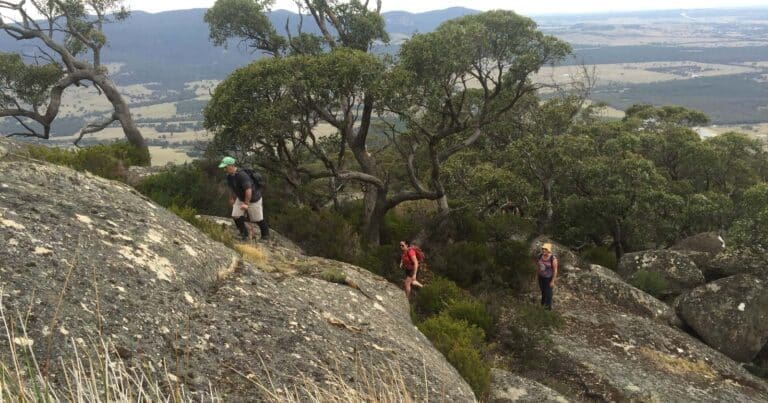
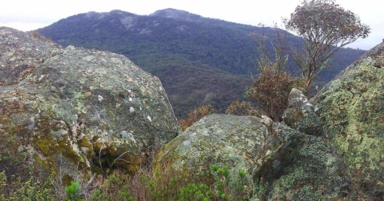
The Langi Ghiran and Mount Gorrin hike commences at the visitors area. Walk via the reservoir where you will join the Easter Creek Track. Follow this track until the trail ends. From here you will commence hiking off-trail in order to gain the summit of Langi Ghiran. The next section of the hike is completely off-trail. You will need to pick the best path through the valley in order to gain the summit of Mount Gorrin. From Mount Gorrin then continue off-trail back to the start point at the visitors area.
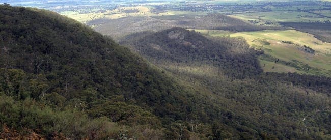
Langi Ghiran is a mountain 14 kilometres east of Ararat in Victoria, Australia, and is home to the Djab Wurrung people who have lived on this land for tens of thousands of years. Rugged granite peaks and gentle sloping woodlands are the dominant features of this local landmark. A pleasant walk to the mountain summit presents a view of ancient Red Gums on the surrounding plains skirted by Mount Buangor in the east and the Grampians in the distant west. Lar-ne-jeering (Langi Ghiran) is Djab Wurrung language for 'home of the black cockatoo'.
Route and GPX file
Max elevation: 925 m
Min elevation: 426 m
Total climbing: 753 m
Total descent: -753 m
Tips
The section between Langi Ghiran and Mount Gorrin is mostly off trail. Off track walking is permitted in the park. Bring a GPS, but also a map and compass (never rely completely on a GPS).
Langi Ghiran is a beautiful state park that not many people know about. It is a 'hidden gem' that provides many beautiful and wild walks for those who are lucky enough to visit this amazing area.
Water
There is no water at Langi Ghiran, byo water
Trail location
Sorry, no records were found. Please adjust your search criteria and try again.
Sorry, unable to load the Maps API.
Getting there
From Melbourne, take the National Highway M8 for 130km to the Western Highway/A8 in Windarmee. Follow the A8 for a further 56km to the Langi Ghiran Rest Area on the right hand side of the Western Hwy. Park your cars here.
Gallery
If you have any photos from this hike and are happy to share them, please upload your .jpg files here.
Please note: Uploading photos does not transfer ownership of copyright away from you. If requested, you will be credited for any photos you provide and can ask they be deleted at any time.
About the region
Rugged granite peaks and gentle sloping woodlands are the dominant features of this park. A pleasant walk to the mountain summit presents a view of ancient red gums on the surrounding plains skirted by Mount Buangor in the east and the Grampians in the distant west. Lar-ne-gerin (Langi Ghiran) is from the Djab Wurrung language meaning 'home of the black cockatoo'.
Mount Gorrin is a mountain 14 kilometres east of Ararat in Victoria, Australia, and is home to the Djab Wurrung people who have lived on this land for tens of thousands of years. Rugged granite peaks and gentle sloping woodlands are the dominant features of this local landmark. A challenging off-trail hike to the mountain summit presents a view of ancient Red Gums on the surrounding plains skirted by Mount Buangor in the east and the Grampians in the distant west.
Similar trails nearby
Explore Safe
While planning your hike, it’s important to check official government sources for updated information, temporary closures and trail access requirements. Before hitting the trail, check local weather and bushfire advice for planned burns and bushfire warnings and let someone know before you go. Plan ahead and hike safely.
Let someone know
Adventure with peace of mind: Fill out your trip intentions form. Before you hit the trail, fill out an online form to privately send important details about your hike to your family or friends. If you don’t return on time, they can easily alert emergency services, preventing worry and ensuring a swift response. Hike with peace of mind and enjoy your outdoor adventure to the fullest. Be smart, be safe: Register your plans here.
Gear to consider

My free planning, food and packing checklists provide an introduction to things your could consider (as well as the Ten Essentials) on your day, overnight and multi-day adventures. Customise your kit according to your personal needs, always considering safety first.
Suggest an edit
Does this hikes information need updating? Sometimes the route, trail features or access conditions change.
Acknowledgement of Country
Trail Hiking Australia acknowledges the Traditional Owners of the lands on which we hike and pay respects to their Elders, past and present, and we acknowledge the First Nations people of other communities who may be here today.


3 Reviews on “Langi Ghiran & Mount Gorrin Hike (14.5km)”
Mt. Gorrin is the best place where you can climb and have a great adventure with your friends. It will definitely give you an awesome vacation while you’re at Lang Ghiran and going to their beautiful places.