Beeripmo Walk is a 20.6km, grade 4 hike located in the Mount Cole State Forest and Mount Buangor State Park, Victoria. The hike can take 1 or 2 days to complete.
Hike overview
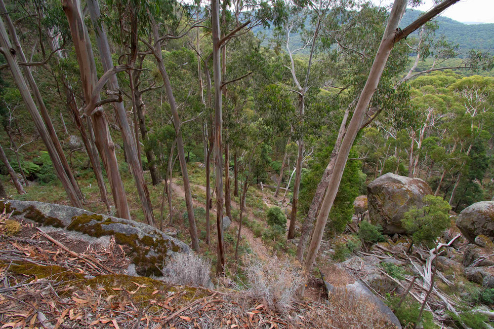
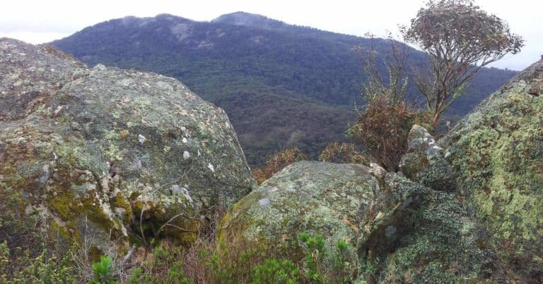
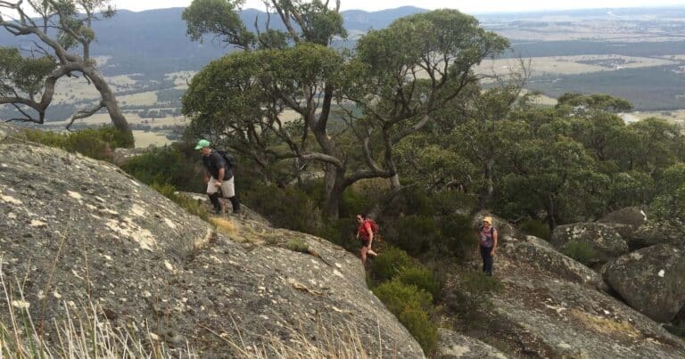
The Beeripmo Walk represents a challenge for the more experienced bush walker, this rewarding two day walk winds through cool fern gullies and tall forests, taking in views across the surrounding hills of both the Mount Cole State Forest and Mount Buangor State Park.
The track offers extensive views of Mount Langi Ghiran, the Grampians to the south towards Mount Cole and the Western Plains. The track is well defined and sign posted and the walk has been designed for those seeking a relaxing walk with time to take in the beautiful surrounds.
Overnight hike for kids
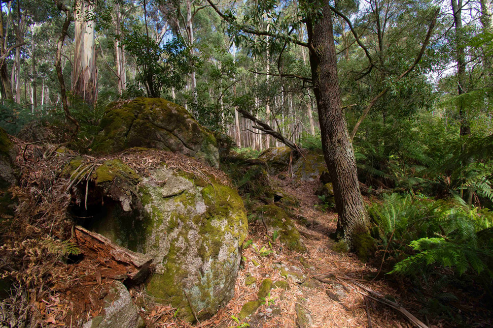
This makes an excellent overnight hike for kids as each day is not too long, the terrain is generally gently sloping with some steeper sections thrown in on the first day just for to make it a little more interesting.
Campsites
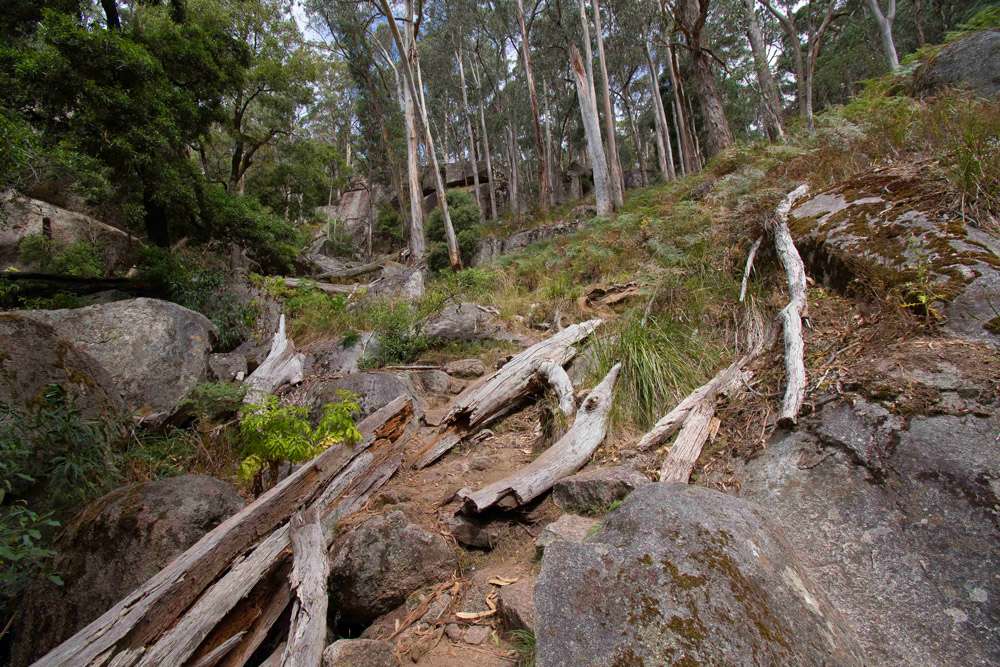
This walk starts at Richards camp site. The closest camp to the half way point is Beeripmo camp ground. Here you will find toilets and a rain water tank which you can use to refill water bladders (make sure you boil or use a filtering system). The camp ground is quiet pleasant, with about ten or so sites with their own fire pits nestled among the eucalypt forest.
Route and GPX file
Max elevation: 978 m
Min elevation: 471 m
Total climbing: 1051 m
Total descent: -1050 m
Beeripmo Walk with your dog
Despite what many 'hiking with dogs' site suggest, you cannot take your pooch on the traditional Beeripmo Walk. The reason for this is that a section of the walk crossed into the Mount Buangor State Park, and dogs are not permitted in this park. There is a variation that allows you to remain within the Mount Cole State Forest, please see the map and GPX file below.
Max elevation: 994 m
Min elevation: 466 m
Total climbing: 910 m
Total descent: -910 m
Trail features
- Gravel Path
- Rough Trail
- Mountain Bike Trail
- Trail Running
- Waterfalls
- Rainforest
- Heritage
- Scenic Viewpoints
- Untreated Water
- Overnight Campsites
Trail location
Sorry, no records were found. Please adjust your search criteria and try again.
Sorry, unable to load the Maps API.
Getting there
The park is located between Ararat and Beaufort on the Western Highway, Route A8. Take the Western Highway to Beaufort. Turn right just past the Rotunda in the main street of Beaufort. Follow the signs to Mt Cole and Beeripmo. Travel north to Raglan then follow the Elmhurst road for about 9 km and take the Glut road fork to the left. Turn left again at the sign to Richards Campground. The car park is a short distance up this road.
Access conditions
- 2WD Access
- Gravel Road
- Small Car Park
- Accessible Toilet
- Public Toilets
- Untreated Water
- Picnic Shelter
- Picnic Table
- Campfire Pit
- Camping Area
About the region
Mount Buangor State Park is located 60 kilometres west of Ballarat, Victoria in Bayindeen. The 2400 hectare Park takes in varied eucalypt forest, creek flats, a waterfall, steep escarpments and Mount Buangor, the area's highest peak. The park contains a 15 km network of walking trails, many extend into the adjoining Mount Cole State Forest. Dogs are not permitted in this park.
Mount Buangor State Park is part of an Aboriginal cultural landscape in the traditional Country of the Eastern Maar Peoples. Parks Victoria respects the deep and continuing connection that Eastern Maar Traditional Owners have to these lands and waters, and we recognise their ongoing role in caring for Country.
The Mount Buangor State Park allows you to explore a variety of landscapes including eucalypt forest, creek flats, waterfalls and steep escarpments. From the peak of Mount Buangor, the highest in the area, you can experience spectacular views of the surrounding countryside. Middle Creek is a good spot for large groups to camp or for camping in caravans. The section of the Bukkertillible and Sugarloaf walks between The Cave and 2 Mile Circuit is a semi remote and steep walk suitable for experienced bushwalkers only. Please be aware that in wet conditions this section of track can become quite slippery.
Mount Cole State Forest is located one hours drive west of Ballarat, just off the Western Highway, 25 kilometres from the township of Beaufort and marks the gateway to the Grampians. Mount Cole is a great place to getaway from it all. Camp the night at one of the many campgrounds in the parks and stroll after dark to spotlight the forest night life.
Explore Safe
While planning your hike, it’s important to check official government sources for updated information, temporary closures and trail access requirements. Before hitting the trail, check local weather and bushfire advice for planned burns and bushfire warnings and let someone know before you go. Plan ahead and hike safely.
Let someone know
Adventure with peace of mind: Fill out your trip intentions form. Before you hit the trail, fill out an online form to privately send important details about your hike to your family or friends. If you don’t return on time, they can easily alert emergency services, preventing worry and ensuring a swift response. Hike with peace of mind and enjoy your outdoor adventure to the fullest. Be smart, be safe: Register your plans here.
Gear to consider

My free planning, food and packing checklists provide an introduction to things your could consider (as well as the Ten Essentials) on your day, overnight and multi-day adventures. Customise your kit according to your personal needs, always considering safety first.
Suggest an edit
Does this hikes information need updating? Sometimes the route, trail features or access conditions change.
Acknowledgement of Country
Trail Hiking Australia acknowledges the Traditional Owners of the lands on which we hike and pay respects to their Elders, past and present, and we acknowledge the First Nations people of other communities who may be here today.




1 Review on “Beeripmo Walk (20.6km)”
Scott James
This is a pretty satisfying 2 day-er. Especially when you get to a campsite that you can’t drive to. Well, that car campers can’t drive to, I mean 😁.
Murky Murk it is a good one. Has a lot of variety
Thoroughly enjoyed this walk. I took the route anticlockwise which means a steady climb most of day one and a steeper descent on day two. That worked well except for the challenge of the steep descent right near the end, which found me on my ass with a broken pole after taking a slide. Should have been more careful. My second day, mostly in the State Park I think (as opposed to the State Forest), was probably the more interesting, and being a little shorter meant I could take my time to enjoy it. Nevertheless, I also enjoyed the first day including the excellent view from the Mt Buangor lookout. Good, well marked paths and I didn’t come across any snakes or leeches (nor any other wildlife other than birds, for that matter).
I did the overnight on Friday before Cup weekend, aiming to avoid the weekend crowds, and that certainly worked. One other car in the carpark when I arrived, whereas it was over-full when I returned. On my night, the camping area had perhaps four other tents eventually. It’s a nice campsite with everyone well spaced. Seemed like plenty of water in the tank, and I could have used two fast running creeks on the way up for water if I’d needed. I didn’t have to wander too far to find enough firewood to last a couple of hours
Worth being aware that the camping pads are pretty hard on the surface, though pegs went through it pretty easily with help from a friendly rock. Also it can get pretty breezy up the on the range if the wind is coming in from the south, which it was. It felt a bit colder than I’d probably expected because of that.
All in all an excellent overnight walk only a couple of hours from Melbourne. I’ll definitely be back.
I should have added: I started walking about 11am on the Friday and made camp about 4pm (with plenty of stops along the way to take it all in). Left about 8.30am the next day and got back about 12.30pm, again taking plenty of time.
hi.
i am planning this one on coming week.
can anyone please give me some approx timing, like when did you start and by what time you reach the campsite and the day two finishing time please!
thanks
Thanks Jayden. It is actually in both so I will update the description to reflect that. Appreciate you pointing it out.
Still well signposted in 2020, Day 2 still much easier than day one. The whole loop is achievable as a daywalk, if you’re willing to travel light.
Not to worry as I did it clockwise and got the climb out of the way.
March 2021
Day 1 – Started this hike clockwise from Richards’ Campground around lunchtime. It was a hot day so I lost a few kilos doing this lol. It took me 4 hours and 30 mins before I found a spot for my tent and stopped my GPS. Moving time was 2 hours and 36 mins which makes my stopped time 1 hour and 54 mins. It was really hot and the climb was tough with me having to take many breaks. These breaks were also to enjoy the varied views/places you find yourself in. So 1st day was 9kms.
Day 2 – Nice soft rain and a much easier walk. 12kms in 4 hours and 7 mins. Moving time was 2 hours and 55 mins. Stopped time was 1 hour and 11 mins. Much easier than day 1 for sure. I hid my pack near the Buangor Lookout sign and proceeded to the lookout. I would recommend leaving your pack as you have to comeback the same way. Worth the walk. Missed the turn to Richard’s Campground only by a few metres along with some others.
Loved this walk. Beautiful but my heart did sink somewhat when you imagine what it would have looked like today if it hadn’t been logged all those years ago.
Here is a great tip! I stopped to use the bathroom at Raglan Recreation Reserve only to also find a shower there as well – bonus! Coin operated hot water (always keep a few $1 and $2 handy) and oh so worth it. Freshened me up for a great drive home.
It’s a beautiful overnight hike ???
Lynda Katthagen I think this is one of Bernard’s walks next year?
Sal Hood. Great walk
Shelly another one !
There is technically no reason why you cant.
We did this trail over the weekend and it is a hidden gem – there are a lot of fallen trees on the second half of the walk through the gully, though, but the second day is much easier than the first, and we were genuinely surprised to see the sign telling us we had less than a kilometre back to Richards.
David, Rachel Raa Raa
Done this hike – it’s awesome
Great overnight hike. Hiked in May 2018. The views were glorious and we had friendly hikers at the overnight spot who shared their amazing fire. Came across some trail-bikers on D2 which, fortunately for us, had mechanical issues and were being loaded up on a trailer.
hi.
can we hike in the night time?
Awesome hike. I’ve done it 3x this year and just love it!
Hi.
Do you do this hike clockwise or anticlockwise? Any recommendations for middle aged gent who is of medium fitness.
Cheers
Great walk, completed this in the June weekend 2018. Lots and lots of other hikers on the trail and so the campsite was packed. Freezing cold during the night so take a good sleeping bag and warm clothes. Plenty of fire wood but it was sopping wet so it took a bit to get going.
We took a wrong turn at Mugwamp Hut and ended up at Mt Buangor which we hadn’t planned on, but the lookout there was spectacular and worth the 5km detour.
Trekking poles recommended especially with the steady but sometimes steep down hill on the second day.