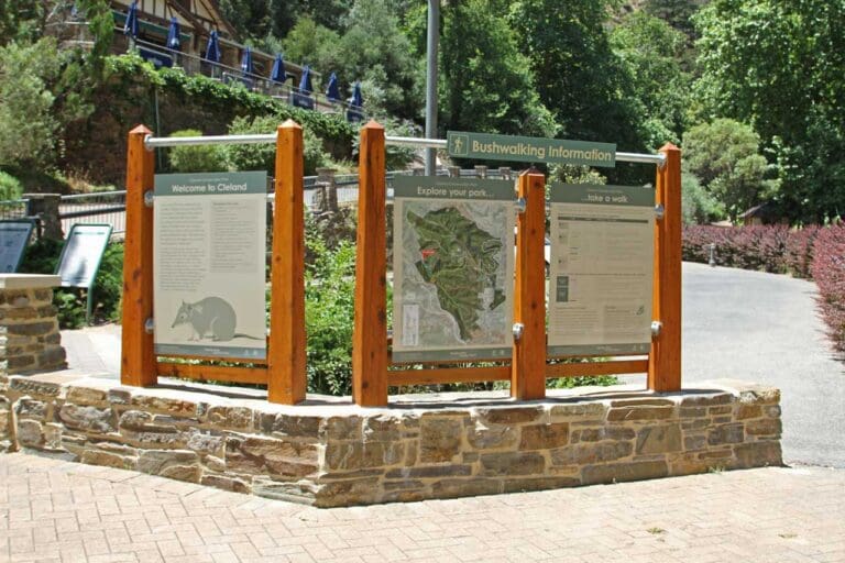
Heysen Trail - Mount Lofty to Bridgewater is a 15km, grade 4 hike located in Mount George Conservation Park, South Australia. The hike should take around 5 hours to complete.
Hike overview
This highlight walk of the Heysen Trail starts from Mount Lofty Summit. Descending the summit, see views over Piccadilly Valley and its orchards and vineyards, before walking past Piccadilly houses. The trail passes through the Scout's Woodhouse Activity Centre and the Stirling Golf Course before entering the forest in Mount George Conservation Park. After passing through the first of two tunnels, the trail passes the Fairy Garden in Deanery Reserve, and follows Cox Creek to Old Bridgewater Mill.
The full Heysen Trail is 1,200km long, from Cape Jervis in the south, to the Flinders Ranges in the north. Bridgewater is 175km from the Cape Jervis trailhead.
The directions are written from Mount Lofty Summit to Bridgewater, but of course the walk could be walked in the opposite direction too.
It's possible to do this walk in other ways:
Start from the upper carpark at the Mount Lofty Botanic Gardens, and follow the alternative Heysen Trail down through the Gardens (the Heysen Trail has two routes around Mount Lofty). Or just walk down any of the quiet cool gullies to the lower carpark, then follow the Heysen Trail to the intersection of Sprigg Road and Lambert Road (3).
1km each way.
Begin from Old Bridgewater Mill, and walk in reverse through the tunnel under the railway, through Arbury Park Outdoor School parklands to the Fairy Garden at Deanery Reserve. Return to Old Bridgewater Mill.
1.8km each way.
Begin from Old Bridgewater Mill, and walk in reverse through the tunnel under the railway, through Arbury Park Outdoor School parklands, past the Fairy Garden at Deanery Reserve and into the picnic area at Mount George Conservation Park. Dogs are permitted through all this, including the picnic area. The picnic area is 1.8km one-way from Bridgewater.
2.7km each way.
Optionally, continue on through the forests of Mount George Conservation Park, turning around at Davenport Bridge, which is 2.7km from Bridgewater.
Although this is a one-way hike, public transport can be easily used to avoid returning by the same route, or to avoid using two cars. Catch the Adelaide Metro public transport bus, route 864, from bus stop 46 on Mount Barker Road Summit Road to Crafers, where you can transfer to an 823 bus service to Mount Lofty Summit. The 823 bus only runs 3-4 times a day, so be sure to check out the timetable first.
Route and GPX file
Max elevation: 707 m
Min elevation: 408 m
Total climbing: 146 m
Total descent: -445 m
For more information on this hiking trail, please visit Walking SA
Trail location
Sorry, no records were found. Please adjust your search criteria and try again.
Sorry, unable to load the Maps API.
Getting there
Although this is a one-way hike, public transport can be easily used to avoid returning by the same route, or to avoid using two cars. Catch the Adelaide Metro public transport bus, route 864, from bus stop 46 on Mount Barker Road Summit Road to Crafers, where you can transfer to an 823 bus service to Mount Lofty Summit. The 823 bus only runs 3-4 times a day, so be sure to check out the timetable first.
GPX file courtesy of Walking SA. File may not contain elevation data and may only represent half the length on return hikes.
Gallery
If you have any photos from this hike and are happy to share them, please upload your .jpg files here.
Please note: Uploading photos does not transfer ownership of copyright away from you. If requested, you will be credited for any photos you provide and can ask they be deleted at any time.
About the region
This park was traditionally the land of the Peramangk Peoples. During the 1840s much of the surrounding area was cleared by European settlers for farming and market gardens. Today, due to the conservation efforts of the local community and the region's cool winter conditions, Mount George Conservation Park features a great variety of vegetation and spring flowers.
There are many walking trails to explore in the park, ranging in duration from 15 minutes to 2 hours. A section of the Heysen Trail also passes through the park. The park is divided into two zones. You can walk your dog in the recreation zone, between Mount George Road and Cox Creek, providing you keep it on a lead and under your control at all times.
Similar trails nearby
Explore Safe
While planning your hike, it’s important to check official government sources for updated information, temporary closures and trail access requirements. Before hitting the trail, check local weather and bushfire advice for planned burns and bushfire warnings and let someone know before you go. Plan ahead and hike safely.
Let someone know
Adventure with peace of mind: Fill out your trip intentions form. Before you hit the trail, fill out an online form to privately send important details about your hike to your family or friends. If you don’t return on time, they can easily alert emergency services, preventing worry and ensuring a swift response. Hike with peace of mind and enjoy your outdoor adventure to the fullest. Be smart, be safe: Register your plans here.
Gear to consider

My free planning, food and packing checklists provide an introduction to things your could consider (as well as the Ten Essentials) on your day, overnight and multi-day adventures. Customise your kit according to your personal needs, always considering safety first.
Suggest an edit
Does this hikes information need updating? Sometimes the route, trail features or access conditions change.
Acknowledgement of Country
Trail Hiking Australia acknowledges the Traditional Owners of the lands on which we hike and pay respects to their Elders, past and present, and we acknowledge the First Nations people of other communities who may be here today.


