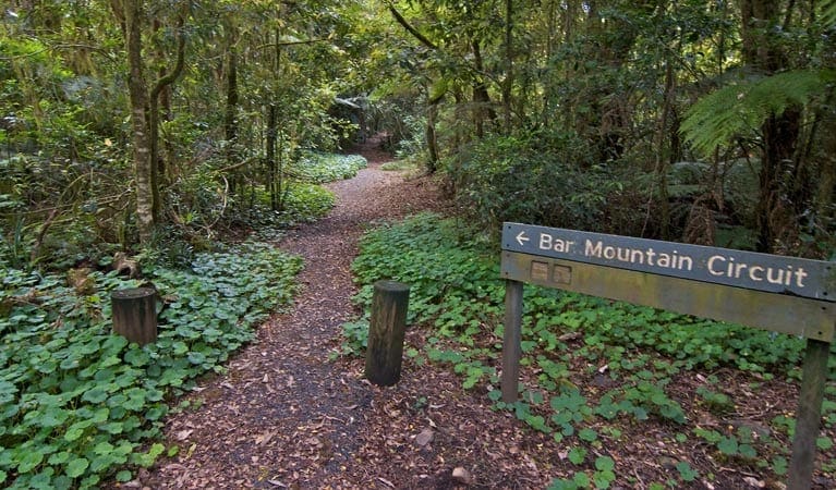
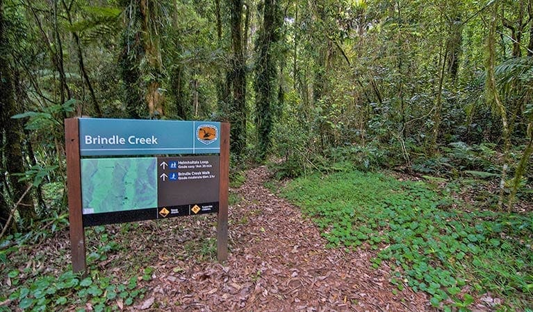
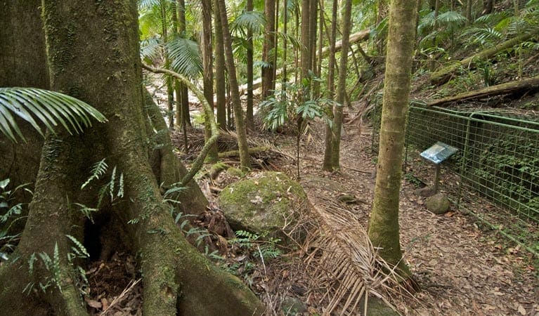
Falcorostrum loop walking track is a 650m, grade 3 hike located in Border Ranges National Park, New South Wales. The hike should take around 30 minutes to complete.
Hike overview
Falcorostrum loop walking track winds its way through one of the largest stands of beech in Border Ranges National Park.
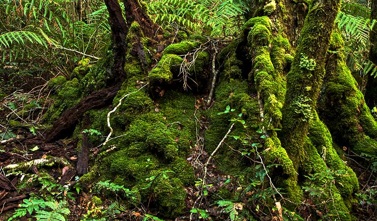
The best place to see ancient Antarctic beech trees is at the highest accessible point of the park. It is at the same elevation as the summit of Wollumbin/Mount Warning. Some of these trees may even be 2,000 years old, with falcorostrum orchids clinging to their trunks and branches. This is the only place these orchids are found.
The cool temperate rainforest this track takes you through is one of only a few pockets in the park. Albert's lyrebird is common to this area and can be seen scratching through leaf litter amidst the beech. Bring along your binoculars for a closer look. You're most likely to spot one in the early morning or on an overcast day. Listen out for lyrebird display songs which could either be their own or the mimicked sounds of other species.
Route and GPX file
Help fellow hikers navigate with confidence. Share your GPX or KML file for this trail and help build a more comprehensive resource with precise waypoints and elevation profiles. Your contribution will empower adventurers with details they need for a safer and more enjoyable experience. I meticulously verify every file using official maps and surveys, ensuring the highest level of accuracy and reliability. Submit your file now and become a trailblazer for your fellow outdoor enthusiasts.
Tips
It's a good idea to fill your fuel tank before heading out to the park as the closest service stations are Kyogle, Woodenbong, Nimbin and Rathdowney.
The weather in the area can be extreme and unpredictable, so please ensure you're well-prepared for your visit.
Remember to take your binoculars if you want to go birdwatching
Visit NSW National Parks and Wildlife Service for more information on this trail.
The longitude and latitude of the start and end points are approximately only and should not be used for navigation purposes. Please contact me if you know the correct coordinates.
Trail location
Sorry, no records were found. Please adjust your search criteria and try again.
Sorry, unable to load the Maps API.
Getting there
Falcorostrum loop walking track is in the eastern precinct of Border Ranges National Park. To get there:From Murwillumbah:Travel southwest on Kyogle Road to Lillian Rock then turn right onto Williams RoadTravel along Williams Road for 2.5km then Creegans Road for 6km until you reach the park boundaryFrom the boundary continue 7.5km along Tweed Range Scenic Drive to Bar Mountain picnic areaFrom Kyogle: Travel north along Summerland Way for 14km until you reach WiangareeTurn right at Wiangaree into Lynches Creek Road and travel east for 12km to Forest RoadTurn right into Forest Road and continue 4.5km to the park boundaryFrom the boundary continue on Tweed Range Scenic Drive for 25km to Bar Mountain picnic area Parking Parking is available at Bar Mountain picnic area and access to the trailhead is nearby.
Gallery
If you have any photos from this hike and are happy to share them, please upload your .jpg files here.
Please note: Uploading photos does not transfer ownership of copyright away from you. If requested, you will be credited for any photos you provide and can ask they be deleted at any time.
About the region
Border Ranges National Park in the North Coast region
Border Ranges National Park is always open but may have to close at times due to poor weather or fire danger.
Similar trails nearby
Explore Safe
While planning your hike, it’s important to check official government sources for updated information, temporary closures and trail access requirements. Before hitting the trail, check local weather and bushfire advice for planned burns and bushfire warnings and let someone know before you go. Plan ahead and hike safely.
Let someone know
Adventure with peace of mind: Fill out your trip intentions form. Before you hit the trail, fill out an online form to privately send important details about your hike to your family or friends. If you don’t return on time, they can easily alert emergency services, preventing worry and ensuring a swift response. Hike with peace of mind and enjoy your outdoor adventure to the fullest. Be smart, be safe: Register your plans here.
Gear to consider

My free planning, food and packing checklists provide an introduction to things your could consider (as well as the Ten Essentials) on your day, overnight and multi-day adventures. Customise your kit according to your personal needs, always considering safety first.
Suggest an edit
Does this hikes information need updating? Sometimes the route, trail features or access conditions change.
Acknowledgement of Country
Trail Hiking Australia acknowledges the Traditional Owners of the lands on which we hike and pay respects to their Elders, past and present, and we acknowledge the First Nations people of other communities who may be here today.


