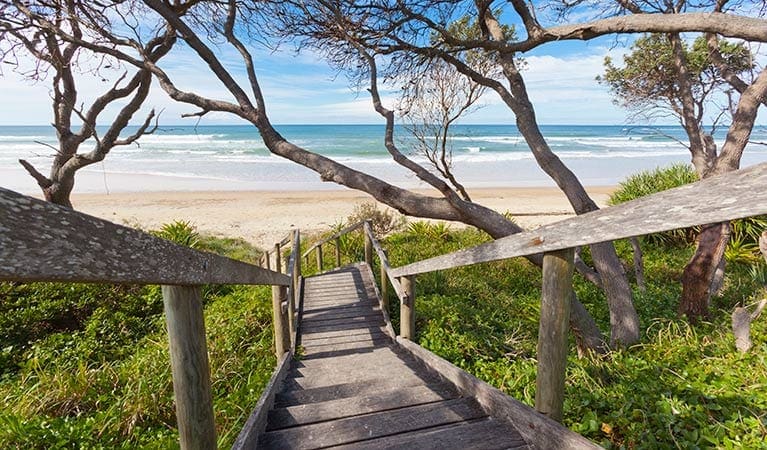
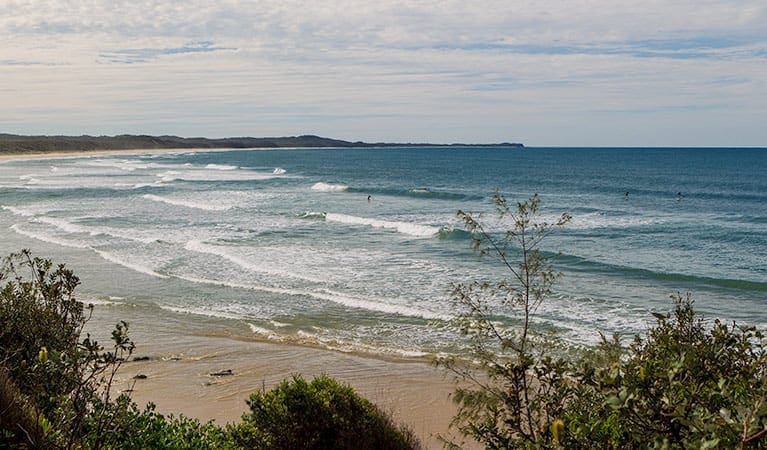
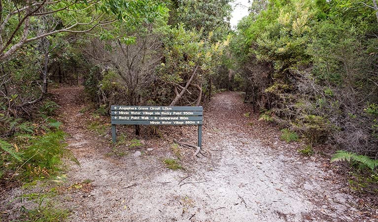
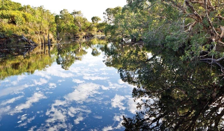
Angourie walking track is a 10km, grade 3 hike located in Yuraygir National Park, New South Wales. The hike should take around 4 hours to complete.
Hike overview
Angourie walking track is a moderately challenging route linking Mara Creek picnic area in the north with Shelley Headland in the south. This superb coastal hike passes through sections of coastland heath and along the seaward side of a ridge with views of sheltered bays and rocky shoals. Keep your binoculars handy for birds in the heath, as well as marine creatures - pods of dolphins, schools of sea mullet and bait fish, and migrating whales - often visible from this amazing vantage point. The route takes in a particularly scenic point called Dirrangan lookout.
At Shelley Headland, you can choose to turn back to tackle the 10km return hike of Angourie walking track, or do some fancy car shuffling and make it a one-way trip. Camping is available at Shelley Headland campground.
Angourie walking track is also part of Yuraygir coastal walk's Angourie to Brooms Head.
Route and GPX file
Help fellow hikers navigate with confidence. Share your GPX or KML file for this trail and help build a more comprehensive resource with precise waypoints and elevation profiles. Your contribution will empower adventurers with details they need for a safer and more enjoyable experience. I meticulously verify every file using official maps and surveys, ensuring the highest level of accuracy and reliability. Submit your file now and become a trailblazer for your fellow outdoor enthusiasts.
Tips
The weather in the area can be extreme and unpredictable, so please ensure you're well-prepared for your visit.
Remember to take your binoculars if you want to go bird watching or whale watching
Visit NSW National Parks and Wildlife Service for more information on this trail.
The longitude and latitude of the start and end points are approximately only and should not be used for navigation purposes. Please contact me if you know the correct coordinates.
Trail location
Sorry, no records were found. Please adjust your search criteria and try again.
Sorry, unable to load the Maps API.
Getting there
Angourie walking track is in the northern precinct of Yuraygir National Park. To get there:Turn off Pacific Highway north of Maclean and follow Yamba Road in an easterly direction for 12kmTurn right onto Angourie Road and follow for 4km, then turn right onto Lakes Boulevard.After 400m on Lakes Boulevard, turn left into Yuraygir National Park and follow that road for 1km.Turn right for Mara Creek picnic area Parking Parking is available at Mara Creek picnic area.
Gallery
If you have any photos from this hike and are happy to share them, please upload your .jpg files here.
Please note: Uploading photos does not transfer ownership of copyright away from you. If requested, you will be credited for any photos you provide and can ask they be deleted at any time.
Similar trails nearby
Explore Safe
While planning your hike, it’s important to check official government sources for updated information, temporary closures and trail access requirements. Before hitting the trail, check local weather and bushfire advice for planned burns and bushfire warnings and let someone know before you go. Plan ahead and hike safely.
Let someone know
Adventure with peace of mind: Fill out your trip intentions form. Before you hit the trail, fill out an online form to privately send important details about your hike to your family or friends. If you don’t return on time, they can easily alert emergency services, preventing worry and ensuring a swift response. Hike with peace of mind and enjoy your outdoor adventure to the fullest. Be smart, be safe: Register your plans here.
Gear to consider

My free planning, food and packing checklists provide an introduction to things your could consider (as well as the Ten Essentials) on your day, overnight and multi-day adventures. Customise your kit according to your personal needs, always considering safety first.
Suggest an edit
Does this hikes information need updating? Sometimes the route, trail features or access conditions change.
Acknowledgement of Country
Trail Hiking Australia acknowledges the Traditional Owners of the lands on which we hike and pay respects to their Elders, past and present, and we acknowledge the First Nations people of other communities who may be here today.


